
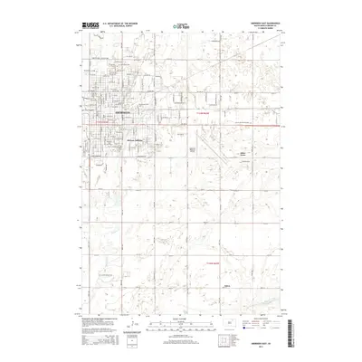
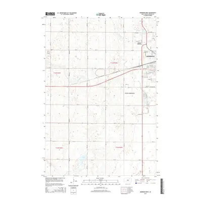
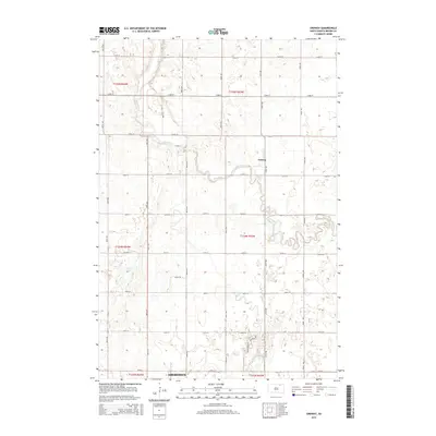
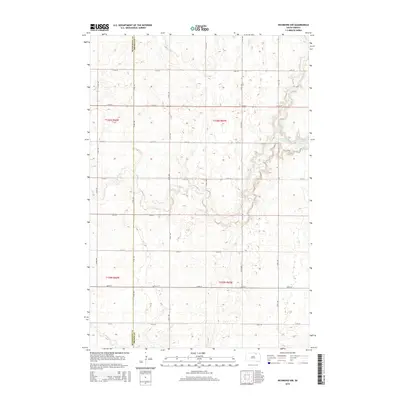
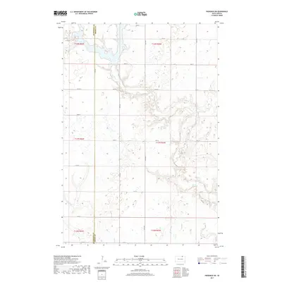
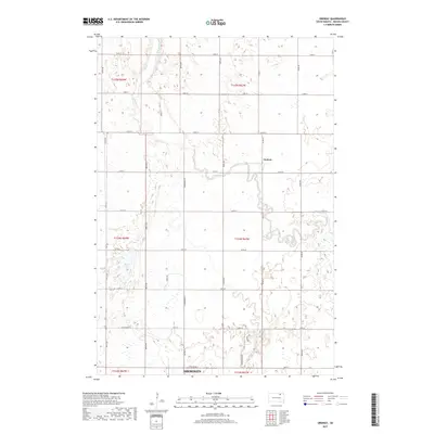
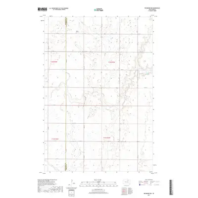
2021 Map of Aberdeen East
USGS Topo · Published 2021About this map
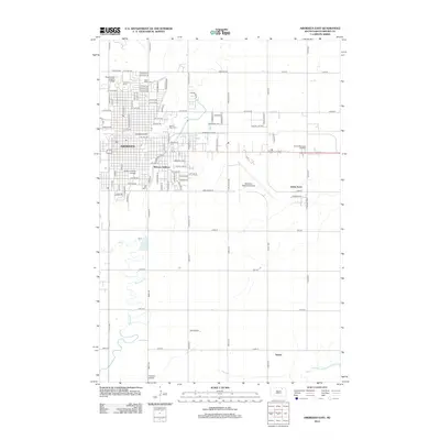
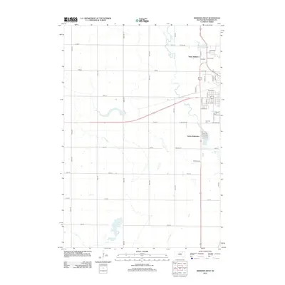
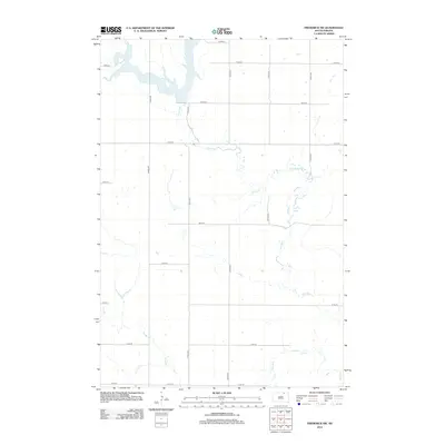
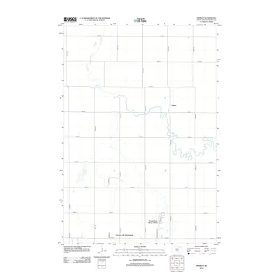
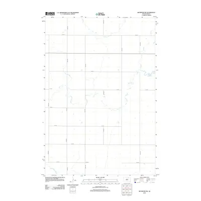
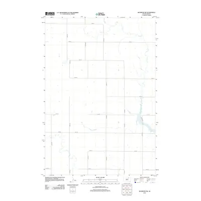
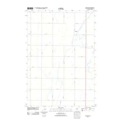
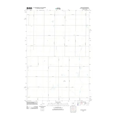
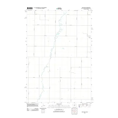
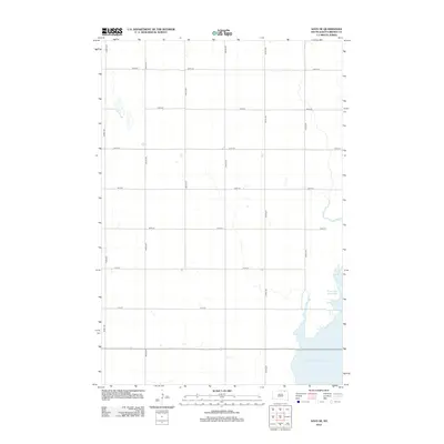
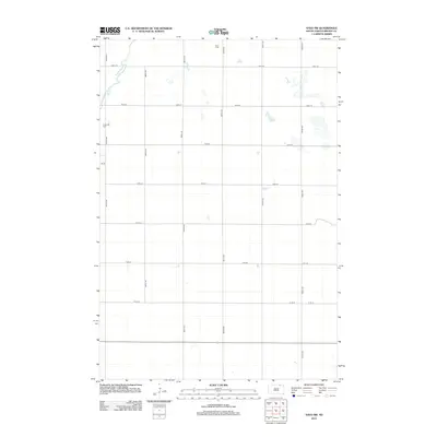
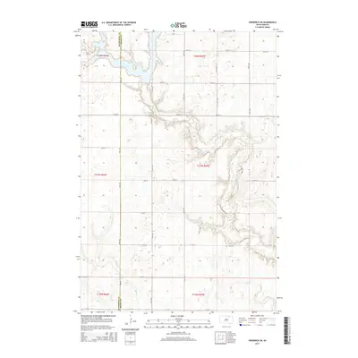
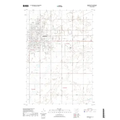
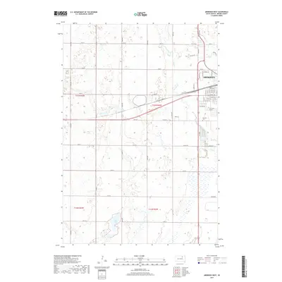
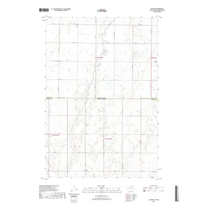
Aberdeen anchors the northwestern corner of this South Dakota landscape, where the urban grid of the county seat meets the expansive James River Valley. The presence of Presentation College and Northern State University highlights the area's importance as an educational center, while the Brown County Courthouse marks the civic heart of the city. To the south and east, the terrain transitions into a more rural character defined by the winding paths of Moccasin Creek and Foot Cr. The map captures the infrastructure of the early 21st century, including the Aberdeen Regional Airport and the smaller Braun Airport. Genealogists will find several major burial sites, including Saint Marys Cem, Sacred Heart Cem, and Sunset Memorial Gardens, which flank the city's outskirts. Moving south toward the hamlet of Nahon, the landscape opens into the structured sections of the Public Land Survey System, illustrating the persistent agricultural footprint of Brown County.
Find a feature on this map
159 named features on this map. Tap any name to fly to it.
Don’t see what you’re looking for? This feature index may not catch every label — zoom into the map to look around manually.
Map Details
Editions of this 2021 Aberdeen East Map
This is the sole edition of this map. No revisions or reprints were ever made.
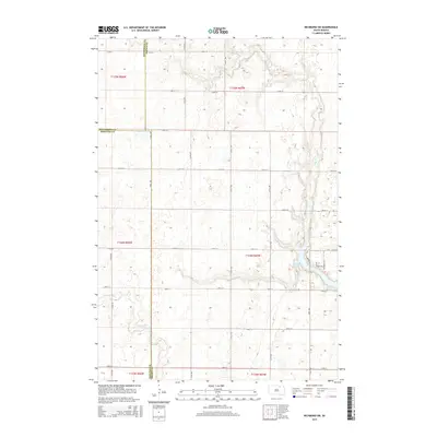
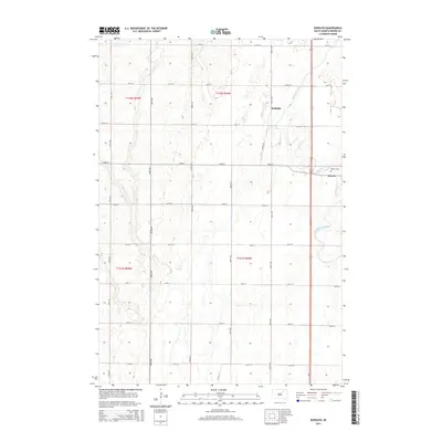
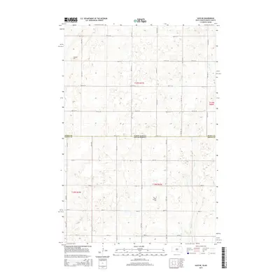
Historical Maps of Aberdeen Through Time
122 maps found

1952 Columbia NE
Brown County, SD

1952 Huffton
Brown County, SD

1952 Ordway
Brown County, SD

1952 Putney
Brown County, SD

1952 Richmond NE
Brown County, SD

1953 Groton SW
Brown County, SD

1953 Hecla SE
Brown County, SD

1953 Houghton
Brown County, SD

1953 Savo SE
Brown County, SD

1953 Savo SW
Brown County, SD

1954 Daly Corners
Brown County, SD

1954 James
Brown County, SD

1960 Aberdeen East
Brown County, SD

1960 Aberdeen West
Brown County, SD

1960 Rudolph
Brown County, SD

1968 Frederick NW
Brown County, SD

1968 Frederick SW
Brown County, SD

1970 Lake Parmley
Brown County, SD

1970 Lake Parmley SW
Brown County, SD

1970 Richmond
Brown County, SD

1970 Richmond NW
Brown County, SD

1970 Richmond SW
Brown County, SD

1985 Elm River
Brown County, SD
2011 Frederick NW
Brown County, SD
2011 Savo NE
Brown County, SD
2011 Savo NW
Brown County, SD
2012 Aberdeen East
Brown County, SD
2012 Aberdeen West
Brown County, SD
2012 Columbia NE
Brown County, SD
2012 Daly Corners
Brown County, SD
2012 Frederick NW
Brown County, SD
2012 Frederick SW
Brown County, SD
2012 Groton SW
Brown County, SD
2012 Hecla SE
Brown County, SD
2012 Houghton
Brown County, SD
2012 Huffton
Brown County, SD
2012 James
Brown County, SD
2012 Lake Parmley
Brown County, SD
2012 Lake Parmley SW
Brown County, SD
2012 Ordway
Brown County, SD
2012 Putney
Brown County, SD
2012 Richmond
Brown County, SD
2012 Richmond NE
Brown County, SD
2012 Richmond NW
Brown County, SD
2012 Richmond SW
Brown County, SD
2012 Rudolph
Brown County, SD
2012 Savo NE
Brown County, SD
2012 Savo NW
Brown County, SD
2012 Savo SE
Brown County, SD
2012 Savo SW
Brown County, SD
2015 Aberdeen East
Brown County, SD
2015 Aberdeen West
Brown County, SD
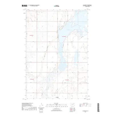
2015 Columbia NE
Brown County, SD
2015 Daly Corners
Brown County, SD
2015 Frederick NW
Brown County, SD
2015 Frederick SW
Brown County, SD
2015 Groton SW
Brown County, SD
2015 Hecla SE
Brown County, SD
2015 Houghton
Brown County, SD
2015 Huffton
Brown County, SD
2015 James
Brown County, SD
2015 Lake Parmley
Brown County, SD
2015 Lake Parmley SW
Brown County, SD
2015 Ordway
Brown County, SD
2015 Putney
Brown County, SD
2015 Richmond
Brown County, SD
2015 Richmond NE
Brown County, SD
2015 Richmond NW
Brown County, SD
2015 Richmond SW
Brown County, SD
2015 Rudolph
Brown County, SD
2015 Savo NE
Brown County, SD
2015 Savo NW
Brown County, SD
2015 Savo SE
Brown County, SD
2015 Savo SW
Brown County, SD
2017 Aberdeen East
Brown County, SD
2017 Aberdeen West
Brown County, SD
2017 Columbia NE
Brown County, SD
2017 Daly Corners
Brown County, SD
2017 Frederick NW
Brown County, SD
2017 Frederick SW
Brown County, SD
2017 Groton SW
Brown County, SD
2017 Hecla SE
Brown County, SD
2017 Houghton
Brown County, SD
2017 Huffton
Brown County, SD
2017 James
Brown County, SD
2017 Lake Parmley
Brown County, SD
2017 Lake Parmley SW
Brown County, SD
2017 Ordway
Brown County, SD
2017 Putney
Brown County, SD
2017 Richmond
Brown County, SD
2017 Richmond NE
Brown County, SD
2017 Richmond NW
Brown County, SD
2017 Richmond SW
Brown County, SD
2017 Rudolph
Brown County, SD
2017 Savo NE
Brown County, SD
2017 Savo NW
Brown County, SD
2017 Savo SE
Brown County, SD
2017 Savo SW
Brown County, SD
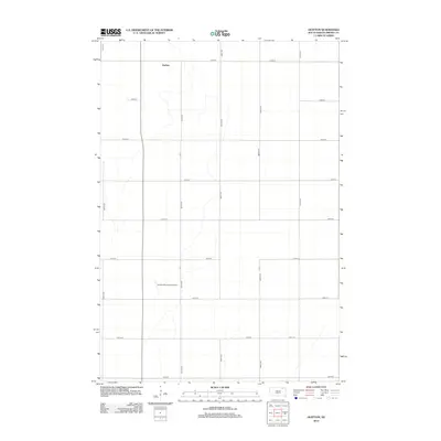
2021 Aberdeen East
Brown County, SD

2021 Aberdeen West
Brown County, SD

2021 Columbia NE
Brown County, SD

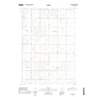
2021 Daly Corners
Brown County, SD

2021 Frederick NW
Brown County, SD

2021 Frederick SW
Brown County, SD

2021 Groton SW
Brown County, SD

2021 Hecla SE
Brown County, SD

2021 Houghton
Brown County, SD

2021 Huffton
Brown County, SD

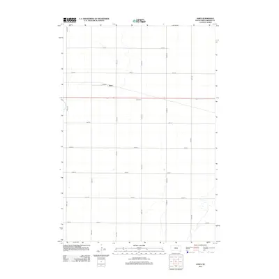
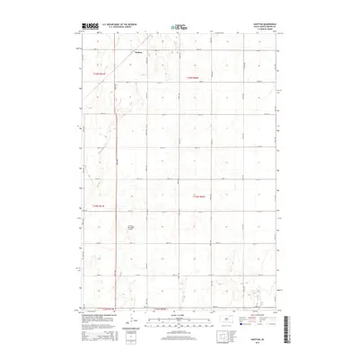
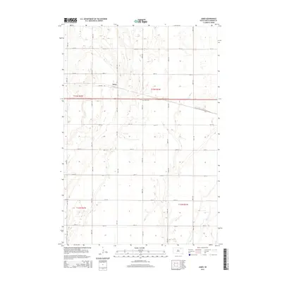
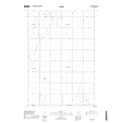
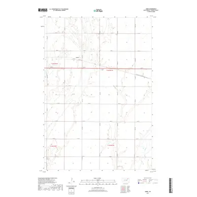
2021 James
Brown County, SD

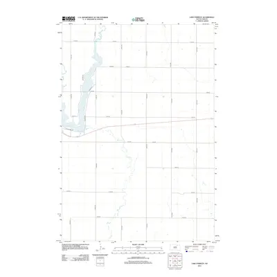
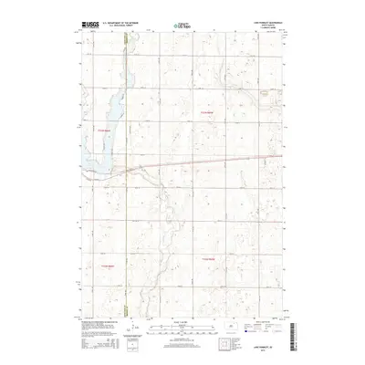
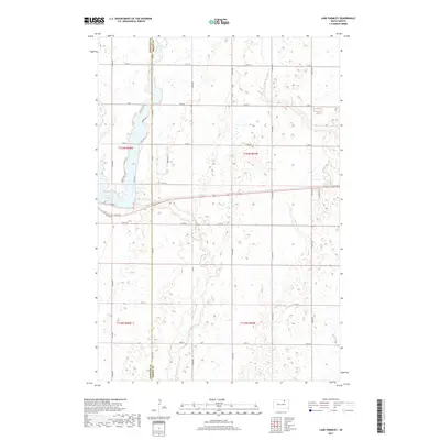
2021 Lake Parmley
Brown County, SD

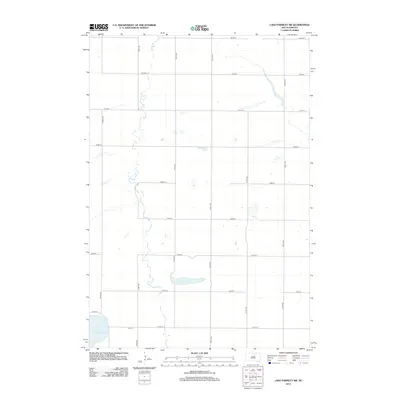
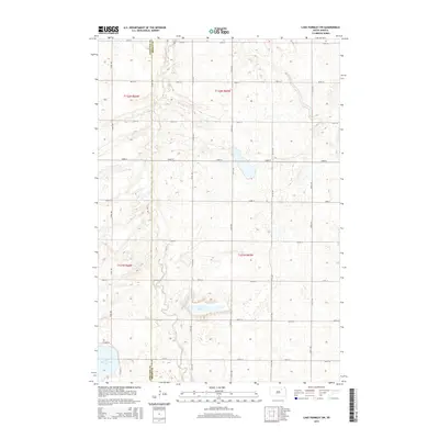
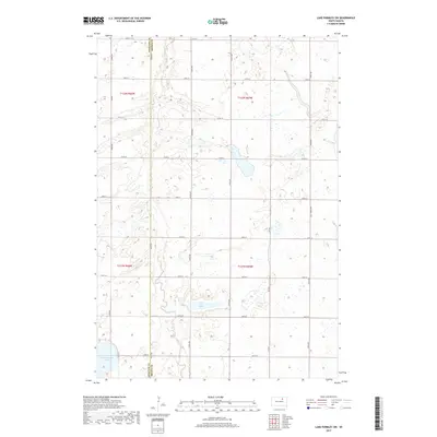
2021 Lake Parmley SW
Brown County, SD

2021 Ordway
Brown County, SD

2021 Putney
Brown County, SD

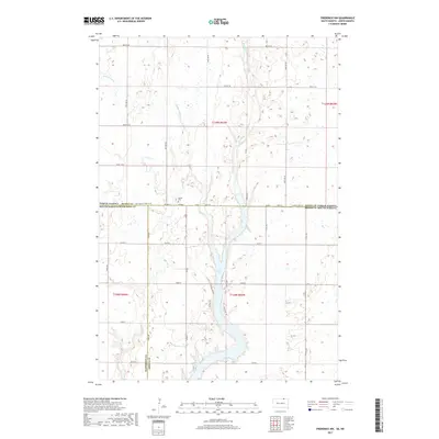
2021 Richmond
Brown County, SD

2021 Richmond NE
Brown County, SD

2021 Richmond NW
Brown County, SD

2021 Richmond SW
Brown County, SD

2021 Rudolph
Brown County, SD

2021 Savo NE
Brown County, SD

2021 Savo NW
Brown County, SD

2021 Savo SE
Brown County, SD

2021 Savo SW
Brown County, SD
Featured Locations
- Gem Township, SD
- Warner Township, SD
- Aberdeen, Aberdeen Township
- Jobee Acres, Bath Township
- Melrose Addition, Aberdeen