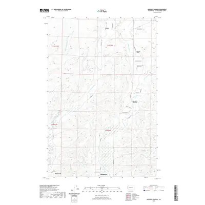
2020 Map of Aberdeen Gardens
USGS Topo · Published 2020About this map
Aberdeen Gardens and the northern outskirts of Hoquiam and Aberdeen define this coastal Washington landscape, where the tidal influence of the Grays Harbor region meets the rising terrain of the Olympic Peninsula foothills. The map reveals a drainage pattern dominated by the Middle Fork Hoquiam River and the Wishkah River, which carve deep valleys through the timberlands. Settled pockets like Nisson and Wishkah are connected by a network of rural roads such as W Wishkah Rd and E Hoquiam Rd, reflecting the region's historic reliance on river valleys for both transportation and agriculture.
Find a feature on this map
38 named features on this map. Tap any name to fly to it.
Don’t see what you’re looking for? This feature index may not catch every label — zoom into the map to look around manually.
Map Details
Editions of this 2020 Aberdeen Gardens Map
This is the sole edition of this map. No revisions or reprints were ever made.
Other maps of this area

1940 · Montesano
USGS Topo · 1:62,500

1941 · Mobray
USGS Topo · 1:62,500

1943 · Humptulips
USGS Topo · 1:62,500

1943 · Mobray
USGS Topo · 1:62,500

1953 · Hoquiam
USGS Topo · 1:250,000

1955 · Montesano
USGS Topo · 1:62,500

1955 · Wynoochee Valley
USGS Topo · 1:62,500

1955 · Humptulips
USGS Topo · 1:62,500

1957 · Hoquiam
USGS Topo · 1:250,000
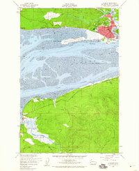
1957 · Hoquiam
USGS Topo · 1:24,000