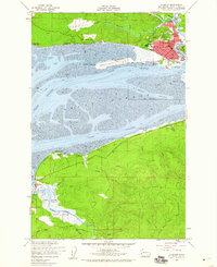
1957 Map of Hoquiam
USGS Topo · Published 1960About this map
Hoquiam serves as the focal point of this coastal survey, where the Hoquiam River meets the expansive waters of Grays Harbor. The industrial and residential layout of the town is detailed through its schools, including Lincoln School and Emerson Sch, alongside civic landmarks like City Hall. Transportation infrastructure is dominated by the Northern Pacific railroad and the Bowerman Airport situated on Moon Island.
Find a feature on this map
37 named features on this map. Tap any name to fly to it.
Don’t see what you’re looking for? This feature index may not catch every label — zoom into the map to look around manually.
Map Details
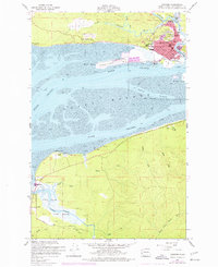
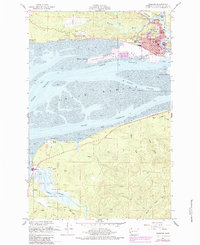
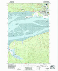
Editions of this 1957 Hoquiam Map
4 editions found
Other maps of this area

1938 · Moclips
USGS Topo · 1:62,500

1941 · Moclips
USGS Topo · 1:62,500

1941 · Grayland
USGS Topo · 1:62,500

1943 · Humptulips
USGS Topo · 1:62,500

1943 · Copalis Beach
USGS Topo · 1:250,000

1951 · Copalis Beach
USGS Topo · 1:250,000

1953 · Hoquiam
USGS Topo · 1:250,000

1955 · Humptulips
USGS Topo · 1:62,500

1955 · Aberdeen SE
USGS Topo · 1:24,000

1956 · Copalis Crossing
USGS Topo · 1:24,000