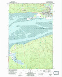
1957 Map of Hoquiam
USGS Topo · Published 1994About this map
The timber and maritime center of Hoquiam dominates the northeastern corner of this coastal survey, where the Hoquiam River meets the expansive tidal flats of Grays Harbor. Industrial and transportation infrastructure defines the waterfront, including the Bowerman Airport built onto Moon Island and the visible Old RR Grade cutting through the northern landscape. Neighborhoods like East Hoquiam and Grays Harbor City are mapped alongside local institutions such as Lincoln Sch and Sunset Memorial Park.
Find a feature on this map
46 named features on this map. Tap any name to fly to it.
Don’t see what you’re looking for? This feature index may not catch every label — zoom into the map to look around manually.
Map Details
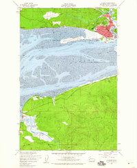
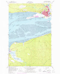
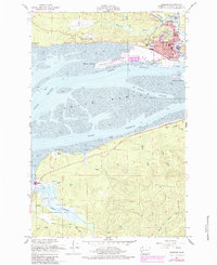
Editions of this 1957 Hoquiam Map
4 editions found
Other maps of this area

1938 · Moclips
USGS Topo · 1:62,500

1941 · Moclips
USGS Topo · 1:62,500

1941 · Grayland
USGS Topo · 1:62,500

1943 · Humptulips
USGS Topo · 1:62,500

1943 · Copalis Beach
USGS Topo · 1:250,000

1951 · Copalis Beach
USGS Topo · 1:250,000

1953 · Hoquiam
USGS Topo · 1:250,000

1955 · Humptulips
USGS Topo · 1:62,500

1955 · Aberdeen SE
USGS Topo · 1:24,000

1956 · Copalis Crossing
USGS Topo · 1:24,000