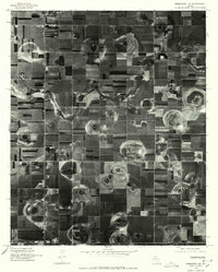
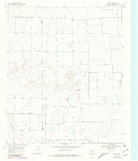
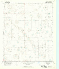
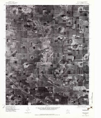
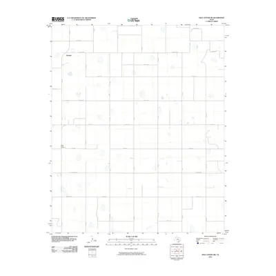
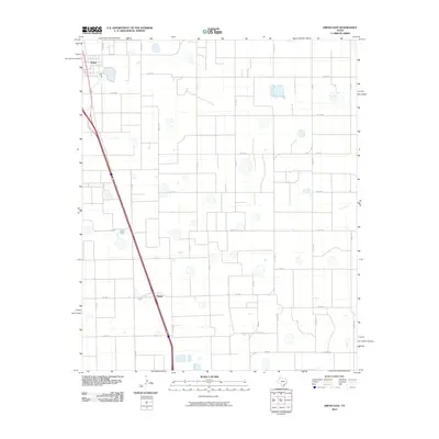
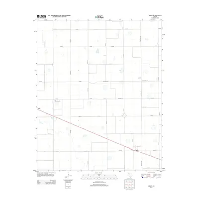
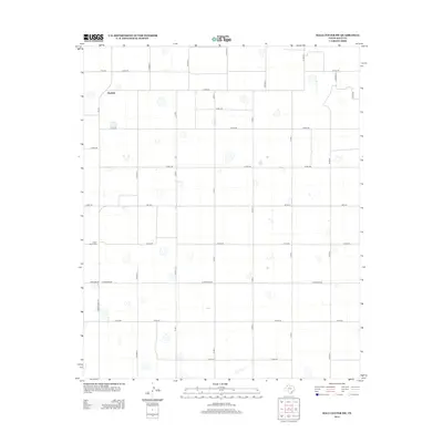
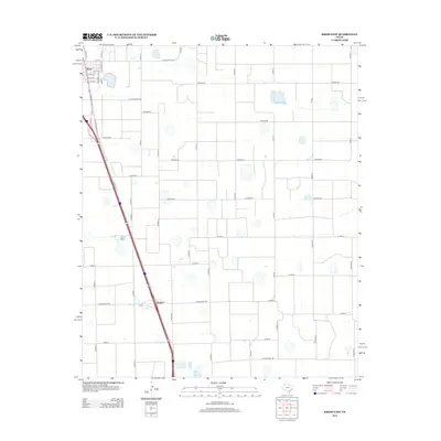
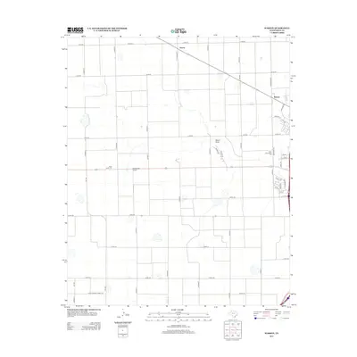
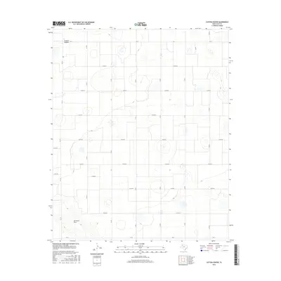
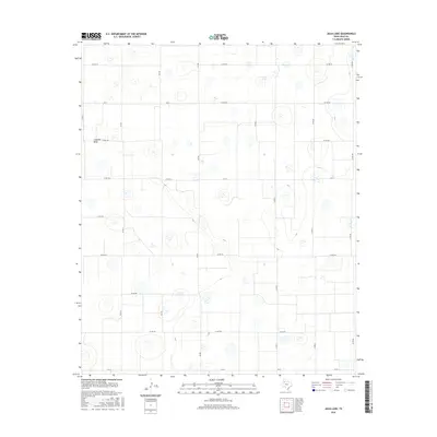
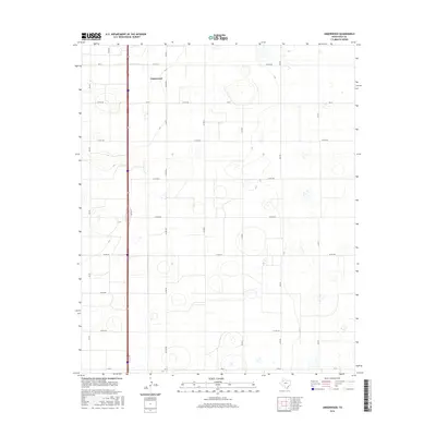
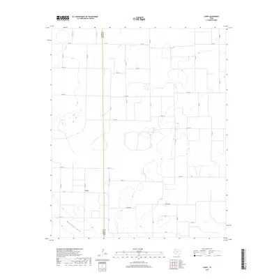
1976 Map of Abernathy NE
USGS Topo · Published 1978This historical map portrays the area of Abernathy NE in 1976, primarily covering Hale County. Featuring a scale of 1:24,000, this map provides a highly detailed snapshot of the terrain, roads, buildings, counties, and historical landmarks in the Abernathy NE region at the time. Published in 1978, it is the sole known edition of this map.
Map Details
Editions of this 1976 Abernathy NE Map
This is the sole edition of this map. No revisions or reprints were ever made.
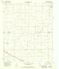
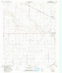
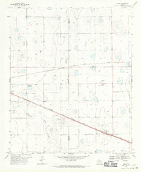
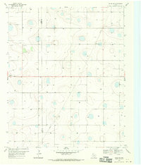
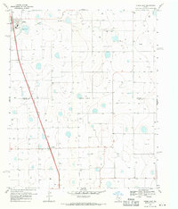
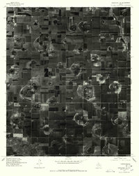
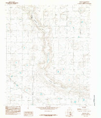
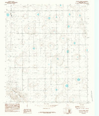
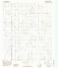
Historical Maps of Underwood Through Time
81 maps found
1965 Kress West
Hale County, TX
1965 Wasson
Hale County, TX
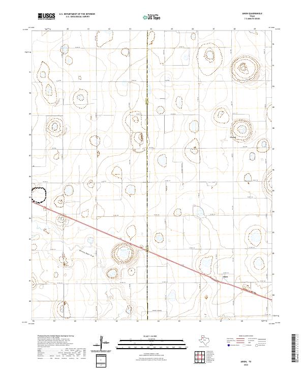
1968 Aiken
Hale County, TX
1968 Corry
Hale County, TX
1968 Hale Center SW
Hale County, TX
1968 Halfway
Hale County, TX
1968 Happy Union
Hale County, TX
1968 Julia Lake
Hale County, TX
1968 Olton NE
Hale County, TX
1969 Kress East
Hale County, TX
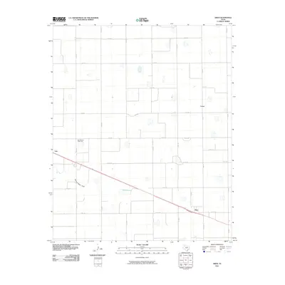
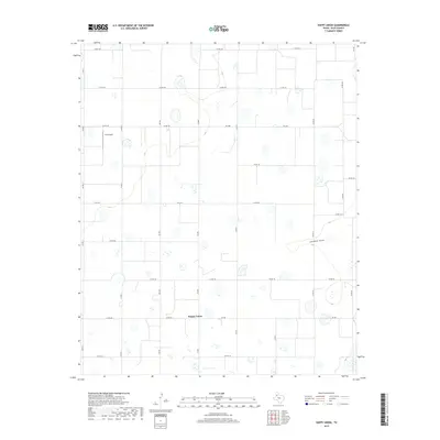
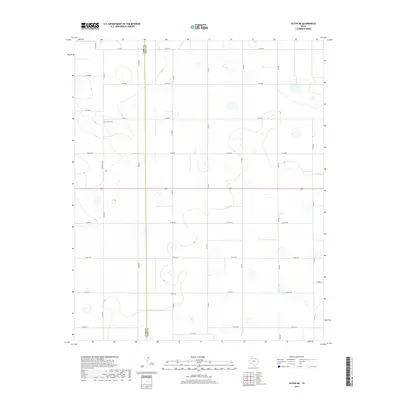
1976 Abernathy NE
Hale County, TX
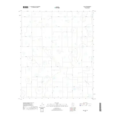
1976 Abernathy NW
Hale County, TX
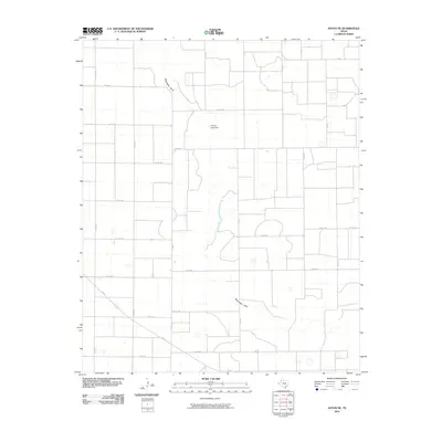
1976 Anton NE
Hale County, TX
1985 Anton NE
Hale County, TX
1985 Cotton Center
Hale County, TX
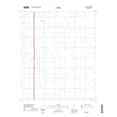
1985 Underwood
Hale County, TX
2010 Aiken
Hale County, TX
2010 Anton NE
Hale County, TX
2010 Corry
Hale County, TX
2010 Cotton Center
Hale County, TX
2010 Hale Center SW
Hale County, TX
2010 Halfway
Hale County, TX
2010 Happy Union
Hale County, TX
2010 Julia Lake
Hale County, TX
2010 Kress East
Hale County, TX

2010 Kress West
Hale County, TX
2010 Olton NE
Hale County, TX
2010 Underwood
Hale County, TX
2010 Wasson
Hale County, TX
2012 Aiken
Hale County, TX
2012 Anton NE
Hale County, TX
2012 Corry
Hale County, TX
2012 Cotton Center
Hale County, TX
2012 Hale Center SW
Hale County, TX
2012 Halfway
Hale County, TX
2012 Happy Union
Hale County, TX
2012 Julia Lake
Hale County, TX
2012 Kress East
Hale County, TX
2012 Kress West
Hale County, TX
2012 Olton NE
Hale County, TX
2012 Underwood
Hale County, TX
2012 Wasson
Hale County, TX
2016 Aiken
Hale County, TX
2016 Anton NE
Hale County, TX
2016 Corry
Hale County, TX
2016 Cotton Center
Hale County, TX
2016 Hale Center SW
Hale County, TX
2016 Halfway
Hale County, TX
2016 Happy Union
Hale County, TX
2016 Julia Lake
Hale County, TX
2016 Kress East
Hale County, TX
2016 Kress West
Hale County, TX
2016 Olton NE
Hale County, TX
2016 Underwood
Hale County, TX
2016 Wasson
Hale County, TX
2019 Aiken
Hale County, TX
2019 Anton NE
Hale County, TX
2019 Corry
Hale County, TX
2019 Cotton Center
Hale County, TX
2019 Hale Center SW
Hale County, TX
2019 Halfway
Hale County, TX
2019 Happy Union
Hale County, TX
2019 Julia Lake
Hale County, TX
2019 Kress East
Hale County, TX
2019 Kress West
Hale County, TX
2019 Olton NE
Hale County, TX
2019 Underwood
Hale County, TX
2019 Wasson
Hale County, TX
2022 Aiken
Hale County, TX
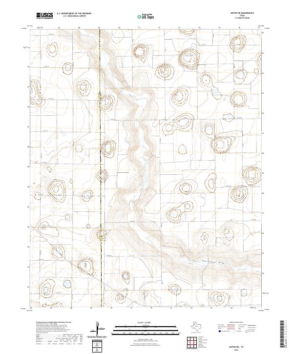
2022 Anton NE
Hale County, TX
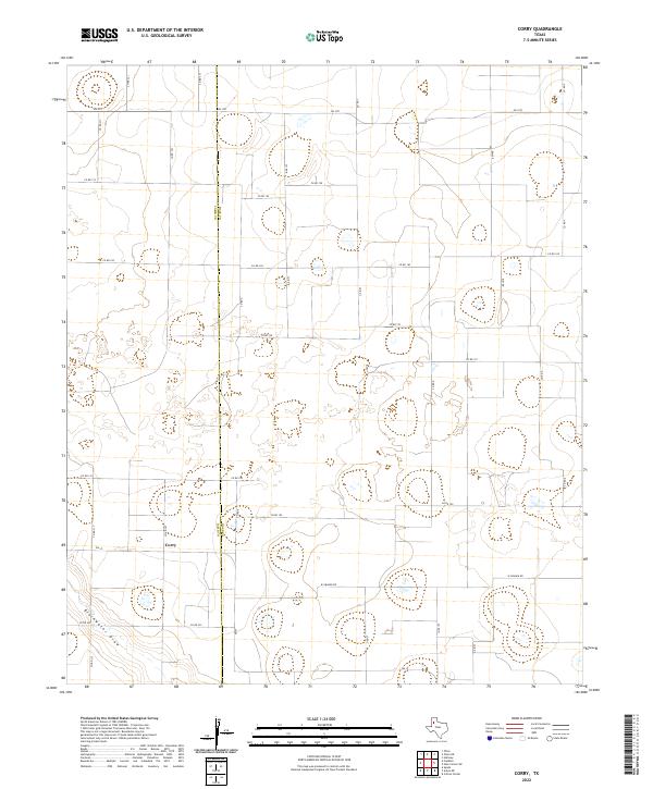
2022 Corry
Hale County, TX
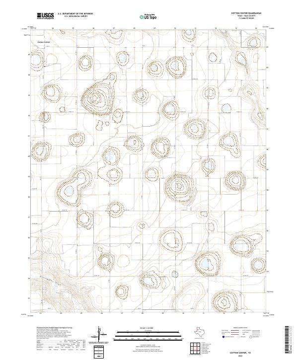
2022 Cotton Center
Hale County, TX
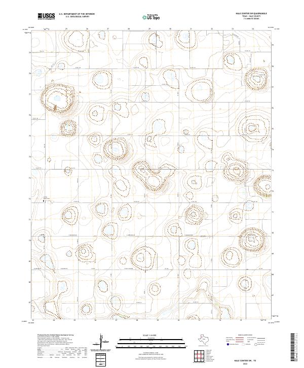
2022 Hale Center SW
Hale County, TX
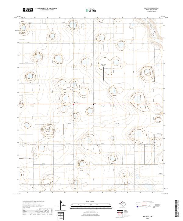
2022 Halfway
Hale County, TX

2022 Happy Union
Hale County, TX
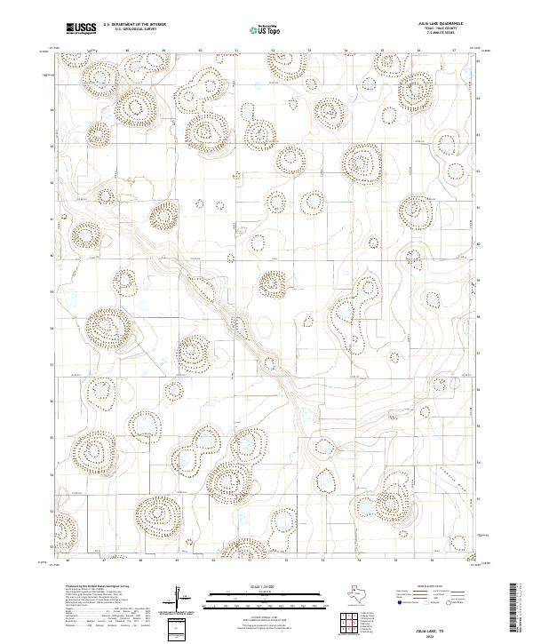
2022 Julia Lake
Hale County, TX
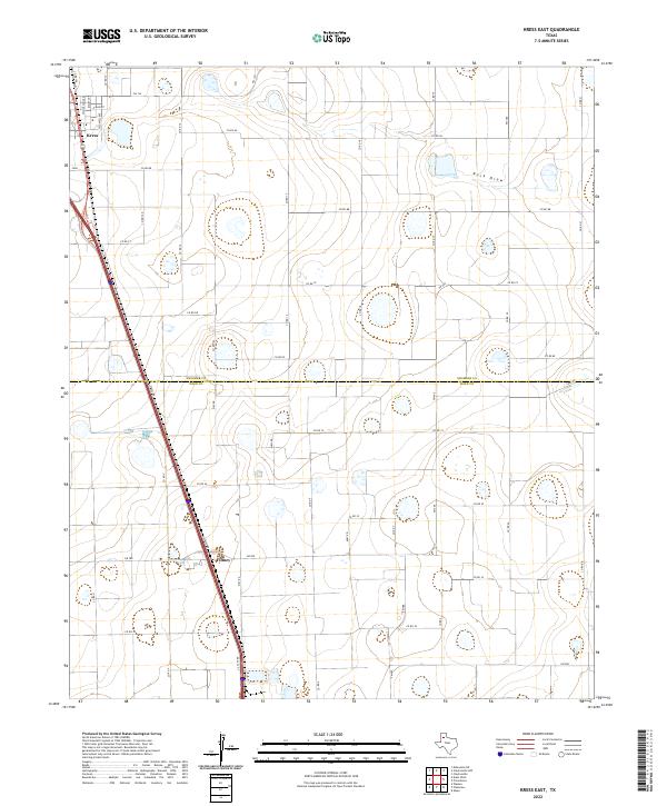
2022 Kress East
Hale County, TX
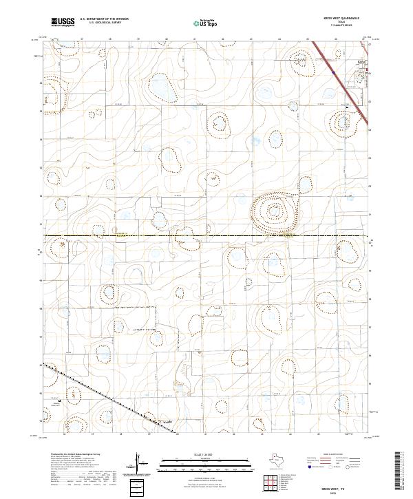
2022 Kress West
Hale County, TX
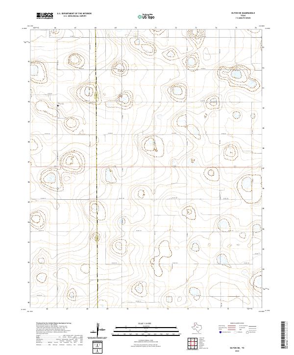
2022 Olton NE
Hale County, TX
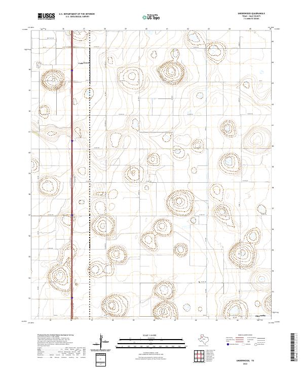
2022 Underwood
Hale County, TX
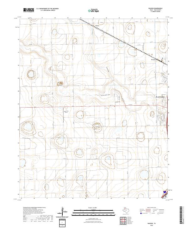
2022 Wasson
Hale County, TX