
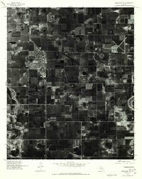
1965 Map of Heckville
USGS Topo · Published 1966About this map
Becton and Heckville anchor this mid-1960s agricultural landscape on the High Plains, where the Hale Co Lubbock Co line divides the terrain. The map documents a highly developed industrial farming system, characterized by hundreds of irrigation wells and structures like the Silo located near the northern boundary. Transportation and utility corridors are prominent, with the Fort Worth and Denver railroad cutting through the eastern portion of the quadrangle and a long Pipeline segment running across the western fields. Genealogists and local historians will find the Becton Cem particularly significant, as it remains a key landmark for the small settlement. The topography is defined by numerous shallow depressions and basins, typical of the Llano Estacado, which were critical for managing water in this intensive cotton and grain producing region during the mid-twentieth century.
Find a feature on this map
7 named features on this map. Tap any name to fly to it.
Don’t see what you’re looking for? This feature index may not catch every label — zoom into the map to look around manually.
Map Details
Editions of this 1965 Heckville Map
This is the sole edition of this map. No revisions or reprints were ever made.
Other maps of this area

1954 · Lubbock
USGS Topo · 1:250,000

1956 · New Deal
USGS Topo · 1:24,000

1957 · Lubbock
USGS Topo · 1:62,500

1957 · Abernathy
USGS Topo · 1:62,500

1965 · Idalou
USGS Topo · 1:24,000

1965 · Petersburg
USGS Topo · 1:24,000

1965 · Lorenzo
USGS Topo · 1:24,000

1968 · Barwise
USGS Topo · 1:24,000

1968 · Julia Lake
USGS Topo · 1:24,000
1976 · Abernathy SE
USGS Topo · 1:24,000