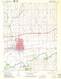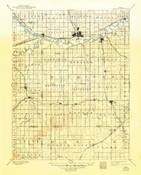
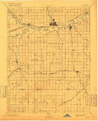
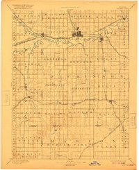
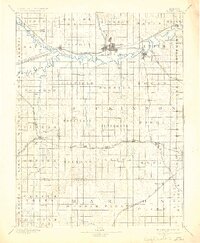
1894 Map of Abilene
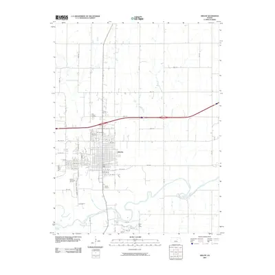
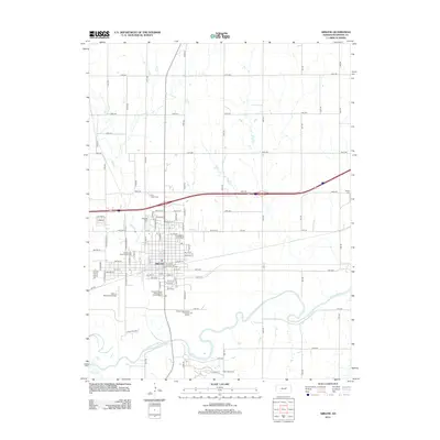
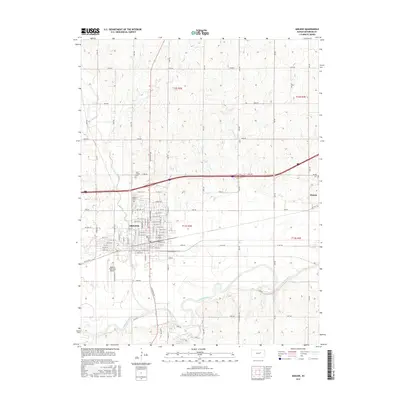
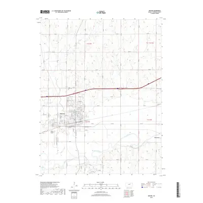
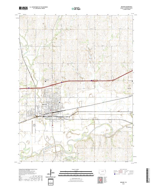
USGS Topo · Published 1949About this map
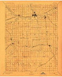
Abilene serves as a major rail hub in this late nineteenth-century survey, where the convergence of the Atchison Topeka and Santa Fe R.R. and the Union Pacific Railroad shaped the region's development. The landscape is defined by the winding paths of the Smoky Hill River and Solomon River, which support numerous small settlements along the fertile valley floor. Further south, the map illustrates the growing network of the Chicago Rock Island and Pacific Railroad and the Missouri Pacific Railroad, connecting agricultural outposts like Hope, Carlton, and Gypsum.
Find a feature on this map
84 named features on this map. Tap any name to fly to it.
Don’t see what you’re looking for? This feature index may not catch every label — zoom into the map to look around manually.
Map Details
Editions of this 1894 Abilene Map
6 editions found

Historical Maps of Abilene Through Time
8 maps found