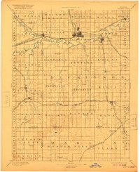
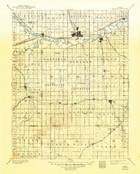
1894 Map of Abilene
USGS Topo · Published 1921About this map
Abilene serves as the central hub of this late 19th-century reconnaissance survey, positioned at a vital junction of the Union Pacific Railroad and the Atchison Topeka and Santa Fe Railroad. The landscape is defined by the winding courses of the Solomon River and the Smoky Hill River, which converge near Solomon. The rail networks dictate the placement of local trade centers, with the Chicago Rock Island and Pacific Railroad and the Missouri Pacific Railroad cutting through the southern townships.
Find a feature on this map
82 named features on this map. Tap any name to fly to it.
Don’t see what you’re looking for? This feature index may not catch every label — zoom into the map to look around manually.
Map Details
Editions of this 1894 Abilene Map
6 editions found

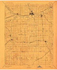
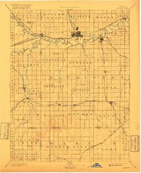
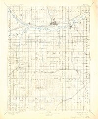
Other maps of this area

1886 · Junction City
USGS Topo · 1:125,000

1889 · Newton
USGS Topo · 1:125,000

1889 · Junction City
USGS Topo · 1:125,000

1889 · Abilene
USGS Topo · 1:125,000

1889 · Parkerville
USGS Topo · 1:125,000

1891 · Hutchinson
USGS Topo · 1:125,000

1891 · Clay Center
USGS Topo · 1:125,000

1892 · Salina
USGS Topo · 1:125,000

1892 · Minneapolis
USGS Topo · 1:125,000

1893 · Hutchinson
USGS Topo · 1:125,000