
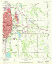
1957 Map of Abilene East
USGS Topo · Published 1958About this map
Academic and medical institutions define the eastern landscape of Abilene in the late 1950s. The city is a significant regional hub, anchored by Hardin-Simmons University, Abilene Christian College, and McMurry College. Beyond the campus grounds, the infrastructure of the era is evident in the sprawling Abilene State Hospital complex and the Hendrick Mem Hosp. The map highlights the transition from urban density to the surrounding prairie, where Cedar Creek and Lytle Creek feed into Lytle Lake. Transportation networks such as the Texas and Pacific railroad and the 36th Division Memorial Highway facilitate movement through this growing West Texas center. This period also shows the active Abilene Municipal Airport and the dedicated Abilene State Hospital Cem, providing a comprehensive view of the local social and physical geography.
Find a feature on this map
75 named features on this map. Tap any name to fly to it.
Don’t see what you’re looking for? This feature index may not catch every label — zoom into the map to look around manually.
Map Details
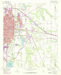
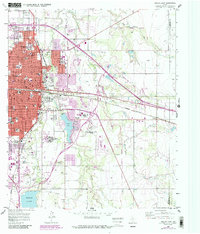
Editions of this 1957 Abilene East Map
4 editions found
Other maps of this area

1890 · Abilene
USGS Topo · 1:125,000

1891 · Anson
USGS Topo · 1:125,000

1892 · Abilene
USGS Topo · 1:125,000

1893 · Anson
USGS Topo · 1:125,000

1954 · Abilene
USGS Topo · 1:250,000

1957 · Hawley
USGS Topo · 1:62,500

1957 · Kirby Lake
USGS Topo · 1:62,500

1957 · Abilene West
USGS Topo · 1:24,000

1957 · Nugent
USGS Topo · 1:62,500
1957 · Hawley
USGS Topo · 1:24,000