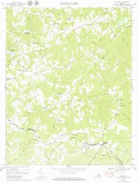
1968 Map of Abilene
USGS Topo · Published 1979About this map
The boundary between Prince Edward Co and Charlotte Co serves as the focal point for this rural Virginia survey, where the rail-based economy of Abilene is clearly visible. The Norfolk and Western railway cuts across the lower half of the quadrangle, passing through Abilene and near County Line Cross Roads. The landscape is defined by its numerous small water bodies, including Buffalo Lake, Little Creek Lake, and Stockton Lake, which are fed by a complex network of creeks like Buffalo Creek and Mud Creek.
Find a feature on this map
38 named features on this map. Tap any name to fly to it.
Don’t see what you’re looking for? This feature index may not catch every label — zoom into the map to look around manually.
Map Details
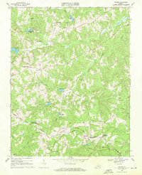
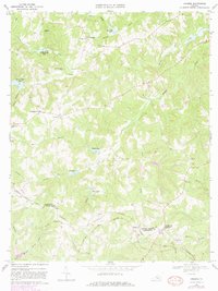
Editions of this 1968 Abilene Map
3 editions found
Other maps of this area

1891 · Farmville
USGS Topo · 1:125,000

1892 · Appomattox
USGS Topo · 1:125,000

1893 · Farmville
USGS Topo · 1:125,000

1947 · Roanoke
USGS Topo · 1:250,000

1956 · Charlotte Court House
USGS Topo · 1:62,500

1958 · Farmville
USGS Topo · 1:62,500

1958 · Keysville
USGS Topo · 1:62,500

1958 · Pamplin City
USGS Topo · 1:62,500

1959 · Roanoke
USGS Topo · 1:250,000

1963 · Roanoke
USGS Topo · 1:250,000