
1911 Map of Abingdon
USGS Topo · Published 1911About this map
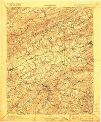
Glade Spring and Saltville serve as industrial and transit hubs in this detailed survey of Southwest Virginia's ridge-and-valley terrain. The Norfolk and Western RR facilitates movement through the mountain gaps, connecting settlements like Meadowview, Emory, and Sevenmile Ford. The map documents a diverse local economy, where industrial sites like the Quarry near Plasterco P.O. Gypsum exist alongside traditional water-powered operations such as Whites Mill, Giesler Mill, and De Busk Mill.
Find a feature on this map
179 named features on this map. Tap any name to fly to it.
Don’t see what you’re looking for? This feature index may not catch every label — zoom into the map to look around manually.
Map Details
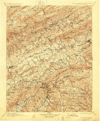
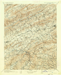
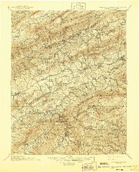
Editions of this 1911 Abingdon Map
5 editions found
Other maps of this area

1886 · Grundy
USGS Topo · 1:125,000

1887 · Pocahontas
USGS Topo · 1:125,000

1889 · Wytheville
USGS Topo · 1:125,000

1889 · Wilkesboro
USGS Topo · 1:125,000

1890 · Grundy
USGS Topo · 1:125,000

1891 · Tazewell
USGS Topo · 1:125,000

1891 · Pocahontas
USGS Topo · 1:125,000

1891 · Roan Mountain
USGS Topo · 1:125,000

1891 · Abingdon
USGS Topo · 1:125,000

1891 · Wilkesboro
USGS Topo · 1:125,000