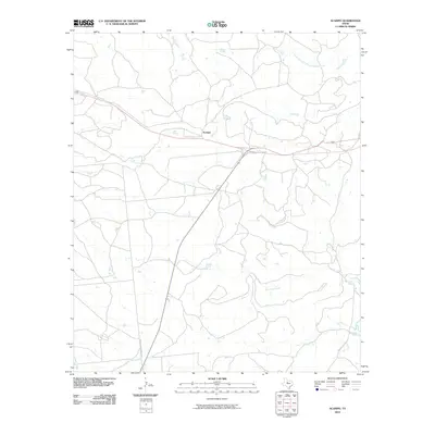
2010 Map of Acampo
USGS Topo · Published 2010About this map
The settlement of Acampo anchors this ranching landscape in Shackelford County, where the terrain is defined by an intricate network of waterways. Water management is a central theme of this 2010 survey, as seen in the presence of McCarty Lake and the various tributaries feeding into larger basins. Notable watercourses include North Fork Salt Prong Hubbard Creek in the northeast and Flat Rock Creek meandering through the southern portion of the quadrangle.
Find a feature on this map
9 named features on this map. Tap any name to fly to it.
Don’t see what you’re looking for? This feature index may not catch every label — zoom into the map to look around manually.
Map Details
Editions of this 2010 Acampo Map
This is the sole edition of this map. No revisions or reprints were ever made.
Other maps of this area

1891 · Anson
USGS Topo · 1:125,000

1892 · Albany
USGS Topo · 1:125,000

1893 · Albany
USGS Topo · 1:125,000

1893 · Anson
USGS Topo · 1:125,000

1954 · Abilene
USGS Topo · 1:250,000

1957 · Nugent
USGS Topo · 1:62,500

1958 · Abilene
USGS Topo · 1:250,000

1965 · Acampo
USGS Topo · 1:24,000

1965 · Lueders East
USGS Topo · 1:24,000

1965 · Albany
USGS Topo · 1:24,000