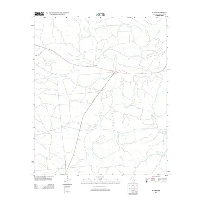
2012 Map of Acampo
USGS Topo · Published 2012About this map
Acampo sits at a geographic crossroads in Shackelford County, where the dry rangeland is defined by a dendritic network of seasonal waterways. The drainage pattern is led by Bluff Cr and Chimney Cr, which carve through the terrain alongside the N Fork Salt Prong Hubbard Cr in the northeast. This 2012 survey illustrates a landscape primarily dedicated to ranching, with infrastructure like Chimney Creek Ranch Rd providing access to the expansive interior. In the southeastern corner, McCarty Lake serves as a significant local water feature, reached by Albany Lake Rd. The map also traces the winding course of Flat Rock Cr as it meanders across the southern half of the quadrangle, highlighting the vital role of these creeks in an otherwise arid West Texas environment.
Find a feature on this map
9 named features on this map. Tap any name to fly to it.
Don’t see what you’re looking for? This feature index may not catch every label — zoom into the map to look around manually.
Map Details
Editions of this 2012 Acampo Map
This is the sole edition of this map. No revisions or reprints were ever made.
Other maps of this area

1891 · Anson
USGS Topo · 1:125,000

1892 · Albany
USGS Topo · 1:125,000

1893 · Albany
USGS Topo · 1:125,000

1893 · Anson
USGS Topo · 1:125,000

1954 · Abilene
USGS Topo · 1:250,000

1957 · Nugent
USGS Topo · 1:62,500

1958 · Abilene
USGS Topo · 1:250,000

1965 · Acampo
USGS Topo · 1:24,000

1965 · Lueders East
USGS Topo · 1:24,000

1965 · Albany
USGS Topo · 1:24,000