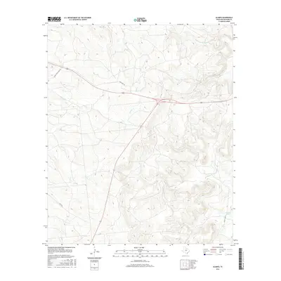
2016 Map of Acampo
USGS Topo · Published 2016About this map
The watershed of Bluff Cr and Chimney Cr dominates this portion of Shackelford County, where ranching roads and water features define the landscape. The drainage system is anchored by the N Fork Salt Prong Hubbard Cr to the northeast and Flat-Rock Cr further south, illustrating the intricate hydrology of the Texas plains. Human presence is marked primarily by large-scale landholdings and utility-focused infrastructure, such as Chimney Creek Ranch Rd and Game Patrol Rd, which cut across the high-relief terrain. To the southeast, Albany Lake Rd leads toward McCarty Lake, a significant water body in an otherwise arid expanse. This survey reflects a modern era of land management where traditional ranching boundaries are navigated by established patrol routes and regional roads.
Find a feature on this map
10 named features on this map. Tap any name to fly to it.
Don’t see what you’re looking for? This feature index may not catch every label — zoom into the map to look around manually.
Map Details
Editions of this 2016 Acampo Map
This is the sole edition of this map. No revisions or reprints were ever made.
Other maps of this area

1891 · Anson
USGS Topo · 1:125,000

1892 · Albany
USGS Topo · 1:125,000

1893 · Albany
USGS Topo · 1:125,000

1893 · Anson
USGS Topo · 1:125,000

1954 · Abilene
USGS Topo · 1:250,000

1957 · Nugent
USGS Topo · 1:62,500

1958 · Abilene
USGS Topo · 1:250,000

1965 · Acampo
USGS Topo · 1:24,000

1965 · Lueders East
USGS Topo · 1:24,000

1965 · Albany
USGS Topo · 1:24,000