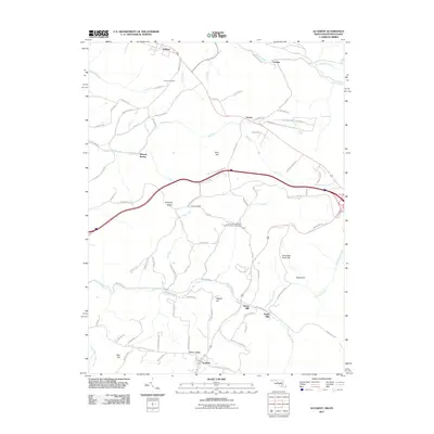
2011 Map of Accident
USGS Topo · Published 2011About this map
Accident and its surrounding highlands define this portion of the Maryland-Pennsylvania border, where the terrain is marked by a sequence of prominent ridges and deep creek valleys. The settlement of Accident serves as a southern anchor, while rural communities like Strawn, Unamis, and Addison dot the northern landscape. Notable local industry and resource history are evident in the presence of Kaese Mill and Engle Mill along the southern waterways, as well as Mineral Spring to the west. This 2011 survey also highlights significant genealogical and spiritual landmarks, such as Saint John's English Lutheran Church Cemetery and Turney Cemetery. The landscape is physically divided by features like Winding Ridge and Hickory Ridge, which separate the drainages of Bear Creek and Cove Run.
Find a feature on this map
84 named features on this map. Tap any name to fly to it.
Don’t see what you’re looking for? This feature index may not catch every label — zoom into the map to look around manually.
Map Details
Editions of this 2011 Accident Map
This is the sole edition of this map. No revisions or reprints were ever made.
Other maps of this area

1899 · Grantsville
USGS Topo · 1:62,500

1900 · Accident
USGS Topo · 1:62,500

1904 · Grantsville
USGS Topo · 1:62,500

1921 · Meyersdale
USGS Topo · 1:62,500

1922 · Confluence
USGS Topo · 1:62,500

1931 · Confluence
USGS Topo · 1:62,500

1933 · Confluence
USGS Topo · 1:62,500

1939 · Meyersdale
USGS Topo · 1:62,500

1944 · Meyersdale
USGS Topo · 1:62,500

1946 · Grantsville
USGS Topo · 1:24,000