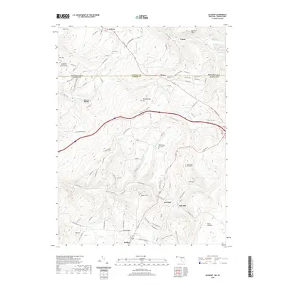
2019 Map of Accident
USGS Topo · Published 2019About this map
The town of Accident serves as the southern anchor for this map of the Garrett County highlands, where the topography is defined by the long, parallel rises of Negro Mountain, Winding Ridge, and Boardman Ridge. This landscape, bisected by the Pennsylvania-Maryland state line, maintains a character of scattered rural hamlets and agricultural history. Local legacy is preserved at sites like Saint John's English Lutheran Church Cem and the small Turney Cem further north.
Find a feature on this map
105 named features on this map. Tap any name to fly to it.
Don’t see what you’re looking for? This feature index may not catch every label — zoom into the map to look around manually.
Map Details
Editions of this 2019 Accident Map
This is the sole edition of this map. No revisions or reprints were ever made.
Other maps of this area

1899 · Grantsville
USGS Topo · 1:62,500

1900 · Accident
USGS Topo · 1:62,500

1904 · Grantsville
USGS Topo · 1:62,500

1921 · Meyersdale
USGS Topo · 1:62,500

1922 · Confluence
USGS Topo · 1:62,500

1931 · Confluence
USGS Topo · 1:62,500

1933 · Confluence
USGS Topo · 1:62,500

1939 · Meyersdale
USGS Topo · 1:62,500

1944 · Meyersdale
USGS Topo · 1:62,500

1946 · Grantsville
USGS Topo · 1:24,000