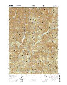
2014 Map of Acker Rock
USGS Topo · Published 2014About this map
South Umpqua Falls and the S Umpqua Falls Picnic area serve as the central landmarks within this section of the Umpqua National Forest. The landscape is defined by the sharp relief of the Southern Oregon Cascades, featuring prominent peaks such as Flagstone Peak and the high summit of Acker Rock. This 2014 survey documents a complex network of Forest Service infrastructure, including numerous timber and access routes like Nat For Dev Rd 100 and several specialized paths such as the Aker Ridge Ts and Quartz Ts. Along the S Umpqua River, smaller features such as Andraieff Meadows and a Low Water Ford indicate the localized use of the river corridor. To the west, Times Square Rock and Coyote Point overlook the drainages of Coffee-pot Cr and Coyote Cr, illustrating the deeply dissected terrain and its remote character.
Find a feature on this map
58 named features on this map. Tap any name to fly to it.
Don’t see what you’re looking for? This feature index may not catch every label — zoom into the map to look around manually.
Map Details
Editions of this 2014 Acker Rock Map
This is the sole edition of this map. No revisions or reprints were ever made.
Other maps of this area

1891 · Ashland
USGS Topo · 1:250,000

1893 · Ashland
USGS Topo · 1:250,000

1897 · Ashland
USGS Topo · 1:250,000

1944 · Tiller
USGS Topo · 1:62,500

1944 · Abbott Butte
USGS Topo · 1:62,500

1947 · Abbott Butte
USGS Topo · 1:62,500

1955 · Quartz Mtn
USGS Topo · 1:62,500

1955 · Red Butte
USGS Topo · 1:62,500

1955 · Medford
USGS Topo · 1:250,000

1957 · Medford
USGS Topo · 1:250,000