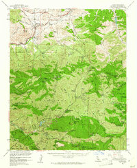
1959 Map of Acton
USGS Topo · Published 1961About this map
Acton sits at the northern edge of the San Gabriel Mountains, serving as a critical rail and transit point along the Southern Pacific line through Soledad Canyon. The 1950s landscape reveals a mix of mountain agriculture and recreational camps, including the Burbank YMCA Camp and Switzers Camp. Deep in the forest, mining operations such as the Monte Cristo Mine and Lodestone Mine highlight the area's mineral history. Extensive military reservations and the Little Gleason Forestry Plantation occupy the high ridges near Mount Gleason, while localized family ranches like Loomis Ranch and Newcomb Ranch are scattered throughout the Angeles National Forest. The presence of the Soledad-Agua Dulce Union Sch and various campgrounds like Chilao Campground indicates a transition from rugged prospecting to a landscape of education and forest management.
Find a feature on this map
125 named features on this map. Tap any name to fly to it.
Don’t see what you’re looking for? This feature index may not catch every label — zoom into the map to look around manually.
Map Details
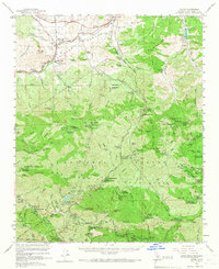
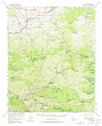
Editions of this 1959 Acton Map
3 editions found
Other maps of this area

1894 · Los Angeles
USGS Topo · 1:62,500

1894 · Pomona
USGS Topo · 1:62,500

1896 · Pasadena
USGS Topo · 1:62,500

1896 · Santa Monica
USGS Topo · 1:62,500

1897 · Pomona
USGS Topo · 1:62,500

1898 · Pomona
USGS Topo · 1:62,500

1898 · Santa Monica
USGS Topo · 1:62,500

1900 · Pasadena
USGS Topo · 1:62,500

1900 · Tujunga
USGS Topo · 1:62,500

1900 · Los Angeles
USGS Topo · 1:62,500