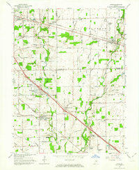
1962 Map of Acton
USGS Topo · Published 1964About this map
Sugar Creek and its many tributaries, including Little Sugar Creek and Doe Creek, carve a winding path through the borderlands of Marion, Hancock, and Shelby counties. This early 1960s landscape is characterized by its emerging suburban developments like Burge Terrace, Charlemac Village, and Brookville Heights, which stand in contrast to established settlements like Acton and New Palestine. The influence of the rail era remains visible through the corridors of the Baltimore and Ohio Railroad and the New York Central.
Find a feature on this map
61 named features on this map. Tap any name to fly to it.
Don’t see what you’re looking for? This feature index may not catch every label — zoom into the map to look around manually.
Map Details
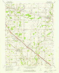
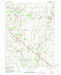
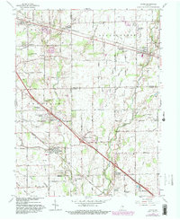
Editions of this 1962 Acton Map
4 editions found
Other maps of this area

1948 · Indianapolis East
USGS Topo · 1:24,000

1948 · Beech Grove
USGS Topo · 1:24,000

1952 · Cumberland
USGS Topo · 1:24,000

1952 · Greenfield
USGS Topo · 1:24,000

1952 · Fountaintown
USGS Topo · 1:24,000

1953 · Greenwood
USGS Topo · 1:24,000

1953 · Shelbyville
USGS Topo · 1:24,000

1953 · Acton
USGS Topo · 1:24,000

1953 · Boggstown
USGS Topo · 1:24,000

1953 · Cincinnati
USGS Topo · 1:250,000