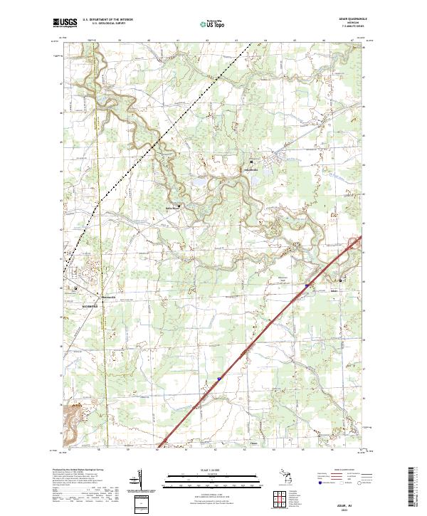
2023 Map of Adair
USGS Topo · Published 2023About this map
The boundary between Macomb and St. Clair Counties runs through this modern landscape of rural townships and established hamlets. The settlement of Muttonville sits at a major crossroads just east of Richmond, while the namesake community of Adair is located further east along Saint Clair Hwy. This area is defined by a dense network of agricultural drainage and waterways, including the winding course of the Belle River and the smaller Rattle Run in the northeast.
Find a feature on this map
47 named features on this map. Tap any name to fly to it.
Don’t see what you’re looking for? This feature index may not catch every label — zoom into the map to look around manually.
Map Details
Editions of this 2023 Adair Map
This is the sole edition of this map. No revisions or reprints were ever made.
Other maps of this area

1912 · Mt Clemens
USGS Topo · 1:62,500

1914 · Armada
USGS Topo · 1:62,500

1914 · Algonac
USGS Topo · 1:62,500

1928 · Armada
USGS Topo · 1:62,500

1928 · Hicky
USGS Topo · 1:62,500

1929 · Mt Clemens
USGS Topo · 1:62,500

1936 · New Haven
USGS Topo · 1:31,680

1936 · Rattle Run
USGS Topo · 1:31,680

1936 · New Baltimore
USGS Topo · 1:31,680

1939 · New Baltimore
USGS Topo · 1:24,000