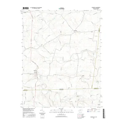
2016 Map of Adairville
USGS Topo · Published 2016About this map
Adairville serves as the focal point of this Logan County landscape, where the confluence of local roads and watercourses defines the region's agricultural character. The town is situated along the South Fork Red River and is anchored by a grid of streets including N Main St and N Walnut St. North of the Kentucky-Tennessee state line, the terrain is dotted with small rural communities like Schochoh and Hilltop, connected by a network of family-named thoroughfares such as Sam Mason Rd and Ruby Fuqua Rd.
Find a feature on this map
87 named features on this map. Tap any name to fly to it.
Don’t see what you’re looking for? This feature index may not catch every label — zoom into the map to look around manually.
Map Details
Editions of this 2016 Adairville Map
This is the sole edition of this map. No revisions or reprints were ever made.
Other maps of this area

1942 · Gallatin
USGS Topo · 1:100,000

1951 · Adairville
USGS Topo · 1:24,000

1951 · Dot
USGS Topo · 1:24,000

1951 · Prices Mill
USGS Topo · 1:24,000

1951 · Auburn
USGS Topo · 1:24,000

1952 · Russellville
USGS Topo · 1:24,000

1952 · Springfield North
USGS Topo · 1:24,000

1952 · Youngville
USGS Topo · 1:24,000

1952 · Dennis
USGS Topo · 1:24,000

1953 · Orlinda
USGS Topo · 1:24,000