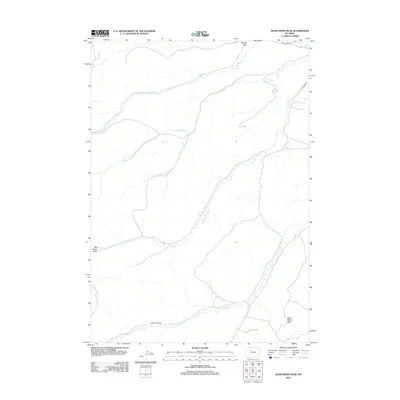
2012 Map of Adam Weiss Peak
USGS Topo · Published 2012About this map
Adam Weiss Peak dominates the southern reaches of this Park County landscape, which is defined by a dendritic network of drainages and ranch access roads. The geography is shaped by the eastward flow of various creeks, including Enos Cr and Middle Cr, which cut through the high-plains terrain. Significant ranching corridors are represented by Dickie Ranch Rd in the north and Grass Creek Rd in the south, illustrating the vital role of these routes in navigating the vast distances of northwestern Wyoming. This 2012 survey provides a clear view of the complex hydrography of the region, specifically how S Fork Left Hand Cr and Little Grass Cr interact with the larger Grass Cr system, offering essential data for understanding local watershed patterns and historical land use.
Find a feature on this map
13 named features on this map. Tap any name to fly to it.
Don’t see what you’re looking for? This feature index may not catch every label — zoom into the map to look around manually.
Map Details
Editions of this 2012 Adam Weiss Peak Map
This is the sole edition of this map. No revisions or reprints were ever made.
Other maps of this area

1911 · Meeteetse
USGS Topo · 1:62,500

1913 · Meeteetse
USGS Topo · 1:62,500

1913 · Grass Creek Basin
USGS Topo · 1:62,500

1915 · Grass Creek Basin
USGS Topo · 1:62,500

1951 · Hillberry Rim
USGS Topo · 1:24,000

1955 · Cody
USGS Topo · 1:250,000

1955 · Thermopolis
USGS Topo · 1:250,000

1956 · Milk Creek
USGS Topo · 1:24,000

1956 · Twentyone Creek
USGS Topo · 1:24,000

1956 · Soapy Dale Peak
USGS Topo · 1:24,000