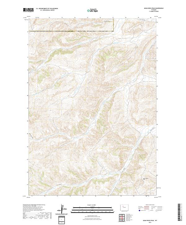
2021 Map of Adam Weiss Peak
USGS Topo · Published 2021About this map
Adam Weiss Peak dominates the southern landscape of this territory along the border of Hot Springs and Park counties. The map reveals a complex network of seasonal and perennial drainages that have carved the terrain, including Middle Cr, Left Hand Cr, and Enos Cr. These waterways are the lifeblood of the high desert ranching country, feeding into broader valleys where early 21st-century infrastructure follows the natural contours of the land. Remote access routes such as Dickie Ranch Rd and Lu Ranch Rd thread through the northern sections, while Grass Creek Rd provides transit across the southern reaches. The drainage patterns at Renner Draw and Bill Dickie Draw illustrate the erosional forces that define this portion of the Bighorn Basin, highlighting a landscape where geography dictates the placement of every road and ranch boundary.
Find a feature on this map
18 named features on this map. Tap any name to fly to it.
Don’t see what you’re looking for? This feature index may not catch every label — zoom into the map to look around manually.
Map Details
Editions of this 2021 Adam Weiss Peak Map
This is the sole edition of this map. No revisions or reprints were ever made.
Other maps of this area

1911 · Meeteetse
USGS Topo · 1:62,500

1913 · Meeteetse
USGS Topo · 1:62,500

1913 · Grass Creek Basin
USGS Topo · 1:62,500

1915 · Grass Creek Basin
USGS Topo · 1:62,500

1951 · Hillberry Rim
USGS Topo · 1:24,000

1955 · Cody
USGS Topo · 1:250,000

1955 · Thermopolis
USGS Topo · 1:250,000

1956 · Milk Creek
USGS Topo · 1:24,000

1956 · Twentyone Creek
USGS Topo · 1:24,000

1956 · Soapy Dale Peak
USGS Topo · 1:24,000