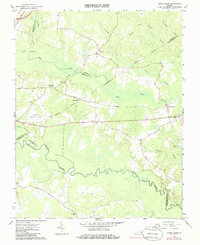
1966 Map of Adams Grove
USGS Topo · Published 1986About this map
Low-lying bottomlands and swampy drainage basins define the borderlands between Southampton, Greensville, and Sussex counties in the mid-1960s. The meandering Meherrin River serpentines across the southern portion of the sheet, while major wetland systems like Three Creek, Otterdam Swamp, and Bellyache Swamp dominate the central topography. These natural barriers shaped the placement of local infrastructure, from the rural crossroads at Grizzard and Adams Grove to the alignment of the Norfolk and Western railway.
Find a feature on this map
27 named features on this map. Tap any name to fly to it.
Don’t see what you’re looking for? This feature index may not catch every label — zoom into the map to look around manually.
Map Details
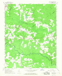
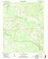
Editions of this 1966 Adams Grove Map
Other maps of this area

1919 · Jarratt
USGS Topo · 1:62,500

1919 · Mc Kenney
USGS Topo · 1:48,000

1919 · Emporia
USGS Topo · 1:62,500

1919 · Arringdale
USGS Topo · 1:48,000

1920 · Arringdale
USGS Topo · 1:62,500

1921 · Mc Kenney
USGS Topo · 1:62,500

1942 · Arringdale
USGS Topo · 1:62,500

1942 · Emporia
USGS Topo · 1:62,500

1943 · Mc Kenney
USGS Topo · 1:62,500

1951 · Jarratt
USGS Topo · 1:62,500