
2023 Map of Adams Head
USGS Topo · Published 2023About this map
Adams Head stands as a prominent high point on the Sevier Plateau, anchoring this high-elevation landscape within the Dixie National Forest. The 2023 survey illustrates an intricate network of drainage systems and ridge-line trails that define the local topography. Water moves through complex forks such as Mountain Spring Fork, Deer Creek, and the East Fork Hunt Creek, while geological features like Window Rock and Crow Peak mark the rugged interior. A robust trail system, including the Adams Head Trl, Rock Creek Trl, and Mount Dutton Trl, provides the primary means of navigating these peaks and hollows. This map documents the persistent backcountry character of Garfield County, where the absence of modern roads highlights a landscape shaped by natural landmarks like Cottonwood Peak and the expansive Marshall Meadow.
Find a feature on this map
36 named features on this map. Tap any name to fly to it.
Don’t see what you’re looking for? This feature index may not catch every label — zoom into the map to look around manually.
Map Details
Editions of this 2023 Adams Head Map
This is the sole edition of this map. No revisions or reprints were ever made.
Other maps of this area

1885 · Beaver
USGS Topo · 1:250,000

1886 · Kanab
USGS Topo · 1:250,000

1953 · Richfield
USGS Topo · 1:250,000

1953 · Cedar City
USGS Topo · 1:250,000

1958 · Richfield
USGS Topo · 1:250,000

1958 · Cedar City
USGS Topo · 1:250,000

1962 · Cedar City
USGS Topo · 1:250,000

1966 · Bull Rush Peak
USGS Topo · 1:24,000
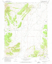
1971 · Flake Mtn East
USGS Topo · 1:24,000
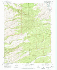
1971 · Deep Creek
USGS Topo · 1:24,000