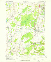
1959 Map of Adams
USGS Topo · Published 1976About this map
The New York Central railroad corridor serves as the industrial spine for this Jefferson County landscape, connecting the village of Adams with the smaller hub at Adams Center. The terrain is defined by the significant wetlands of Adams Swamp and the drainage of Sandy Creek, which winds past numerous established family settlements. The map documents an era of established rural community life, evidenced by a dense network of local landmarks including St Cecelias Ch and the Elmwood Cemetery.
Find a feature on this map
77 named features on this map. Tap any name to fly to it.
Don’t see what you’re looking for? This feature index may not catch every label — zoom into the map to look around manually.
Map Details
Editions of this 1959 Adams Map
3 editions found
Other maps of this area

1893 · Sackets Harbor
USGS Topo · 1:62,500

1895 · Sacketts Harbor
USGS Topo · 1:62,500

1895 · Pulaski
USGS Topo · 1:62,500

1895 · Watertown
USGS Topo · 1:62,500

1898 · Watertown
USGS Topo · 1:62,500

1903 · Orwell
USGS Topo · 1:62,500

1905 · Orwell
USGS Topo · 1:62,500

1908 · Watertown
USGS Topo · 1:62,500

1909 · Watertown
USGS Topo · 1:62,500

1942 · Henderson Bay
USGS Topo · 1:31,680