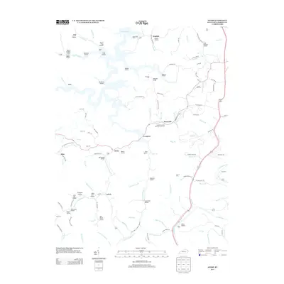
2013 Map of Adams
USGS Topo · Published 2013About this map
Yatesville Lake dominates the northern landscape of this Lawrence County quadrangle, its intricate shoreline reaching into numerous hollows named for local families. Small settlements like Adams, Busseyville, and Evergreen are situated along the winding valley roads, marking a rural landscape where the topography is defined by the Right Fork Little Blaine Cr and the Levisa Fork. Genealogists will find a wealth of family history in the many small burial grounds throughout the area, including the Smoky Valley Cem, Prince Cem, and the Busseyville United Methodist Church Cem. The distribution of family-named hollows, such as Hugh Sparks Hollow and McCracken Hollow, reflects a deep-rooted pattern of upland settlement that persists alongside modern water management features.
Find a feature on this map
127 named features on this map. Tap any name to fly to it.
Don’t see what you’re looking for? This feature index may not catch every label — zoom into the map to look around manually.
Map Details
Editions of this 2013 Adams Map
This is the sole edition of this map. No revisions or reprints were ever made.
Other maps of this area

1886 · Prestonsburg
USGS Topo · 1:125,000

1892 · Prestonsburg
USGS Topo · 1:125,000

1903 · Kenova
USGS Topo · 1:125,000

1904 · Kenova
USGS Topo · 1:125,000

1911 · Louisa
USGS Topo · 1:48,000

1913 · Louisa
USGS Topo · 1:62,500

1914 · Inez
USGS Topo · 1:48,000

1915 · Paintsville
USGS Topo · 1:48,000

1916 · Inez
USGS Topo · 1:62,500

1917 · Paintsville
USGS Topo · 1:62,500