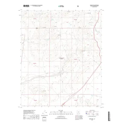
2018 Map of Adams Mesa
USGS Topo · Published 2018About this map
Tonto National Forest defines this high-desert landscape in Maricopa County, where a series of prominent mesas and volcanic landforms rise above the drainage basins. The survey detail highlights the intricate network of water resources vital to this arid environment, ranging from natural seeps like Aqua Chiquita Spring and Mesquite Spring to man-made catchments such as McCann Spring Tank and Hughes Tank.
Find a feature on this map
28 named features on this map. Tap any name to fly to it.
Don’t see what you’re looking for? This feature index may not catch every label — zoom into the map to look around manually.
Map Details
Editions of this 2018 Adams Mesa Map
This is the sole edition of this map. No revisions or reprints were ever made.
Other maps of this area

1904 · Ft. McDowell
USGS Topo · 1:62,500

1906 · Ft. McDowell
USGS Topo · 1:62,500

1907 · Roosevelt
USGS Topo · 1:125,000

1909 · Four Peaks
USGS Topo · 1:125,000

1912 · Roosevelt
USGS Topo · 1:125,000

1930 · Cave Creek
USGS Topo · 1:125,000

1939 · Cave Creek
USGS Topo · 1:125,000

1954 · Mesa
USGS Topo · 1:250,000

1957 · Mesa
USGS Topo · 1:250,000

1958 · Mesa
USGS Topo · 1:250,000