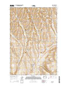
2014 Map of Adams
USGS Topo · Published 2014About this map
Athena and Adams anchor this corner of Umatilla County, where the agricultural landscape is defined by a dense network of country roads and seasonal watercourses. The terrain transitions from the broad expanses of Gerking Flat to the etched drainage of Waterman Gulch, reflecting the region's wheat-growing geography. Local history is centered on the established town sites and smaller points like Sand Hollow, which is situated near the intersection of Or-11 and several rural routes. Researchers will find the Athena Cemetery located north of the town center, while a survey of the hydrology reveals the complex paths of Wildhorse Creek, Greasewood Creek, and Spring Hollow Creek. These waterways, along with numerous named roads such as Gerking Flat Rd and Mansfield Rd, provide a clear picture of the land divisions and transportation patterns of the early twenty-first century.
Find a feature on this map
46 named features on this map. Tap any name to fly to it.
Don’t see what you’re looking for? This feature index may not catch every label — zoom into the map to look around manually.
Map Details
Editions of this 2014 Adams Map
This is the sole edition of this map. No revisions or reprints were ever made.
Other maps of this area

1935 · Pendleton
USGS Topo · 1:125,000

1953 · Pendleton
USGS Topo · 1:250,000

1956 · Pendleton
USGS Topo · 1:250,000

1964 · Milton-Freewater
USGS Topo · 1:24,000

1964 · Thorn Hollow
USGS Topo · 1:24,000

1964 · Athena
USGS Topo · 1:24,000
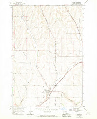
1966 · Adams
USGS Topo · 1:24,000
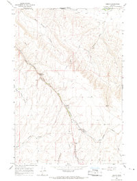
1966 · Smeltz
USGS Topo · 1:24,000
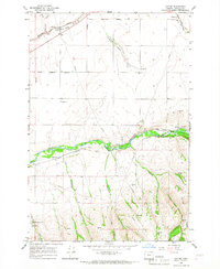
1966 · Cayuse
USGS Topo · 1:24,000

1966 · Mission
USGS Topo · 1:24,000