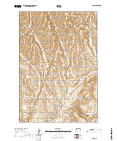
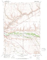
2020 Map of Adams
USGS Topo · Published 2020About this map
Adams and Athena anchor this agricultural landscape in Umatilla County, Oregon, where the undulating terrain of Gerking Flat meets a complex network of drainage creeks. The map documents a rural environment defined by established township and range boundaries, illustrating how early 21st-century infrastructure follows the natural contours of the land. Waterways such as Wildhorse Cr, Greasewood Cr, and Gerking Cr carve through the plateaus, dictating the placement of local thoroughfares like Gerking Flat Rd and Waterman Rd. Near the settlement of Sand Hollow, the confluence of Wildhorse Cr and Spring Hollow Cr provides a focal point for the surrounding farmsteads. Genealogical interest is centered on the Athena Cem located just outside the municipal limits, while named landmarks like Waterman Gulch offer specific geographic markers for local history researchers and land use studies.
Find a feature on this map
50 named features on this map. Tap any name to fly to it.
Don’t see what you’re looking for? This feature index may not catch every label — zoom into the map to look around manually.
Map Details
Editions of this 2020 Adams Map
This is the sole edition of this map. No revisions or reprints were ever made.
Other maps of this area
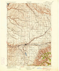
1935 · Pendleton
USGS Topo · 1:125,000

1953 · Pendleton
USGS Topo · 1:250,000

1956 · Pendleton
USGS Topo · 1:250,000
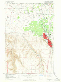
1964 · Milton-Freewater
USGS Topo · 1:24,000
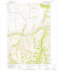
1964 · Thorn Hollow
USGS Topo · 1:24,000
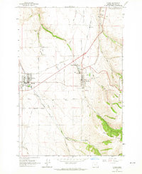
1964 · Athena
USGS Topo · 1:24,000
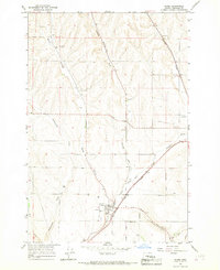
1966 · Adams
USGS Topo · 1:24,000
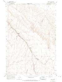
1966 · Smeltz
USGS Topo · 1:24,000
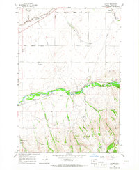
1966 · Cayuse
USGS Topo · 1:24,000
1966 · Mission
USGS Topo · 1:24,000