2023 Map of Adams
USGS Topo · Published 2023About this map
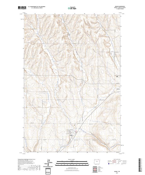
Adams and Athena anchor this corner of the Columbia Basin, where the rolling agricultural landscape is defined by the drainage patterns of Wildhorse Creek and its many tributaries. The area's development is closely tied to the Old Oregon Washington Hwy, which runs parallel to the creek beds through the heart of the settlements. Away from the town centers, the terrain transitions into a series of distinctive geographic depressions and flats, including Sand Hollow and Gerking Flat, carved by seasonal watercourses like Gerking Creek. Researchers will find a dense network of county roads named for local families and landmarks, such as Rothrock Rd and Waterman Rd, which cross the township and range lines established by early surveyors. The location of the Athena Cem on Athena Cemetery Rd provides a specific point of interest for genealogists tracing the early residents of this dryland farming region.
Find a feature on this map
52 named features on this map. Tap any name to fly to it.
Don’t see what you’re looking for? This feature index may not catch every label — zoom into the map to look around manually.
Map Details
Editions of this 2023 Adams Map
This is the sole edition of this map. No revisions or reprints were ever made.