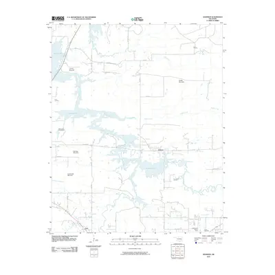
2010 Map of Adamson
USGS Topo · Published 2010About this map
Adamson and Dow sit within a landscape where the waters of Eufaula Lake reach into the valleys of Gaines Creek and Buffalo Creek. This topography is defined by prominent high points including Cyclone Mountain, Buffalo Mountain, and Fish Trap Mountain, which overlook a network of rural roads such as Buffalo Mountain Rd and Adamson Rd. The distribution of Courts Cemetery, Cole Chapel Cemetery, and Kemp Cemetery across the hillsides suggests long-established rural communities that predated the reservoir's reach into these Oklahoma uplands. Several water control structures, including the Oknoname 121019 Dam and Jones Lake Dam, illustrate the local management of the watershed where Brushy Creek and Ash Creek meet the larger lake system.
Find a feature on this map
37 named features on this map. Tap any name to fly to it.
Don’t see what you’re looking for? This feature index may not catch every label — zoom into the map to look around manually.
Map Details
Editions of this 2010 Adamson Map
This is the sole edition of this map. No revisions or reprints were ever made.
Other maps of this area

1898 · McAlester
USGS Topo · 1:125,000

1900 · Sansbois
USGS Topo · 1:125,000

1900 · Canadian
USGS Topo · 1:125,000

1901 · Tuskahoma
USGS Topo · 1:125,000

1908 · Tuskahoma
USGS Topo · 1:125,000

1909 · Mc Alester
USGS Topo · 1:125,000

1909 · Tuskahoma
USGS Topo · 1:125,000

1909 · Sans Bois
USGS Topo · 1:125,000

1911 · Sansbois
USGS Topo · 1:125,000

1946 · Fort Smith
USGS Topo · 1:250,000