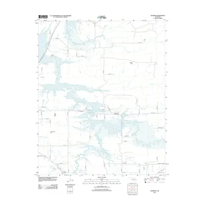
2012 Map of Adamson
USGS Topo · Published 2012About this map
Adamson and Dow sit amidst a complex shoreline shaped by the fingers of Eufaula Lake, which dominates the local topography and surrounds the region's prominent heights. The landscape is defined by these high points, including Cyclone Mtn, Buffalo Mtn, Fish Trap Mtn, and Pocahontas Mtn, which rise above the inundated valleys of Buffalo Cr and Ash Cr. This 2012 survey illustrates how the modern reservoir system has integrated with the older road network, such as Old HWY 270 and Adamson RD, which connect these small settlements to the surrounding hills.
Find a feature on this map
47 named features on this map. Tap any name to fly to it.
Don’t see what you’re looking for? This feature index may not catch every label — zoom into the map to look around manually.
Map Details
Editions of this 2012 Adamson Map
This is the sole edition of this map. No revisions or reprints were ever made.
Other maps of this area

1898 · McAlester
USGS Topo · 1:125,000

1900 · Sansbois
USGS Topo · 1:125,000

1900 · Canadian
USGS Topo · 1:125,000

1901 · Tuskahoma
USGS Topo · 1:125,000

1908 · Tuskahoma
USGS Topo · 1:125,000

1909 · Mc Alester
USGS Topo · 1:125,000

1909 · Tuskahoma
USGS Topo · 1:125,000

1909 · Sans Bois
USGS Topo · 1:125,000

1911 · Sansbois
USGS Topo · 1:125,000

1946 · Fort Smith
USGS Topo · 1:250,000