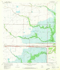
1970 Map of Addicks
USGS Topo · Published 1972About this map
Addicks Reservoir and Barker Reservoir dominate this West Houston landscape, illustrating the massive hydrological engineering required for regional flood control by 1970. The map shows the sprawling footprints of these detention basins, bisected by the Missouri Kansas Texas railroad line and the Addicks Dam and Barker Dam structures. While the area was becoming increasingly defined by these infrastructure projects, older local history remains visible at the Baker Cem near Mason Creek and the settlement of Addicks. The transition from rural prairie to suburban edge is evident in the grid of family-named roads like Gertie Rice Road and Gummert Rd, which stand in contrast to the expanding Houston corporate boundaries creeping into the quadrangle from the east near Bear Creek Park.
Find a feature on this map
29 named features on this map. Tap any name to fly to it.
Don’t see what you’re looking for? This feature index may not catch every label — zoom into the map to look around manually.
Map Details
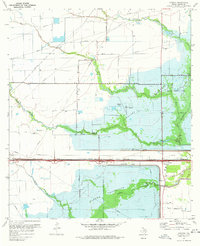
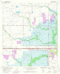
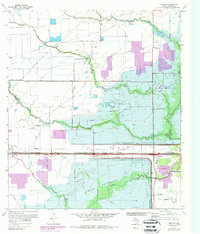
Editions of this 1970 Addicks Map
4 editions found
Other maps of this area

1915 · Alief
USGS Topo · 1:24,000

1915 · Cypress
USGS Topo · 1:24,000

1915 · Katy
USGS Topo · 1:24,000

1915 · Addicks
USGS Topo · 1:24,000

1915 · Hillendahl
USGS Topo · 1:24,000

1915 · Clodine
USGS Topo · 1:24,000

1916 · Satsuma
USGS Topo · 1:24,000

1916 · Swanson
USGS Topo · 1:24,000

1918 · Cypress
USGS Topo · 1:31,680

1918 · Addicks
USGS Topo · 1:31,680