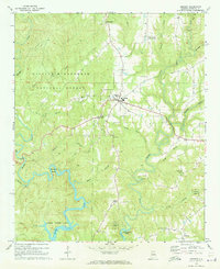
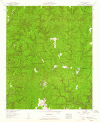
1969 Map of Addison
USGS Topo · Published 1973About this map
Addison serves as the central hub of this 1960s Winston County landscape, situated where the ridge-top roads meet above a complex network of winding creek valleys. Much of the western and northern terrain is protected within the William B Bankhead National Forest, while the southern reaches are defined by the rising waters of Lewis Smith Lake. The map reveals a community organized around rural institutions, including the High Sch in town and several outlying country churches such as Friendship Ch and Fairview Ch.
Find a feature on this map
34 named features on this map. Tap any name to fly to it.
Don’t see what you’re looking for? This feature index may not catch every label — zoom into the map to look around manually.
Map Details
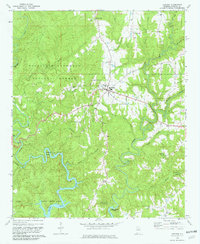
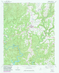
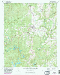
Editions of this 1969 Addison Map
4 editions found
Other maps of this area

1935 · Upshaw
USGS Topo · 1:24,000

1935 · Danville
USGS Topo · 1:48,000

1936 · Mc Kendry
USGS Topo · 1:24,000

1936 · Moulton
USGS Topo · 1:48,000

1938 · Danville
USGS Topo · 1:62,500

1940 · Mt Hope
USGS Topo · 1:62,500

1956 · Gadsden
USGS Topo · 1:250,000

1958 · Gadsden
USGS Topo · 1:250,000

1960 · Gadsden
USGS Topo · 1:250,000
1960 · Grayson
USGS Topo · 1:24,000