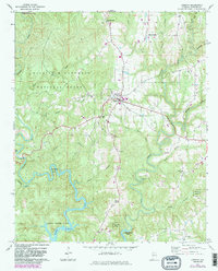
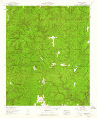
1969 Map of Addison
USGS Topo · Published 1983About this map
Lewis Smith Lake dominates the southern landscape of this Winston County region, its winding fingers reaching deep into the forested hills. The town of Addison sits as a central hub, surrounded by a network of smaller communities like Inmanfield, New Georgia, and Helicon to the southeast. Much of the northern terrain is protected within the William B Bankhead National Forest and the Black Warrior Wildlife Management Area, characterized by dramatic topographical features like Eagle Rock and the sharp turn of Horseshoe Bend. Local genealogy is well-preserved through numerous country churches and burial grounds, including Old Houston Cem, Friendship Ch, and Liberty Ch. The map captures the interface between the sprawling reservoir and the established agricultural and timber lands of north-central Alabama, showing the road network before significant modern expansion.
Find a feature on this map
40 named features on this map. Tap any name to fly to it.
Don’t see what you’re looking for? This feature index may not catch every label — zoom into the map to look around manually.
Map Details
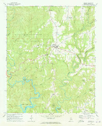
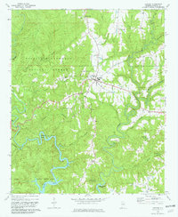
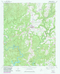
Editions of this 1969 Addison Map
4 editions found
Other maps of this area

1935 · Upshaw
USGS Topo · 1:24,000

1935 · Danville
USGS Topo · 1:48,000

1936 · Mc Kendry
USGS Topo · 1:24,000

1936 · Moulton
USGS Topo · 1:48,000

1938 · Danville
USGS Topo · 1:62,500

1940 · Mt Hope
USGS Topo · 1:62,500

1956 · Gadsden
USGS Topo · 1:250,000

1958 · Gadsden
USGS Topo · 1:250,000

1960 · Gadsden
USGS Topo · 1:250,000
1960 · Grayson
USGS Topo · 1:24,000