2023 Map of Addyston
USGS Topo · Published 2023About this map
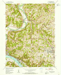
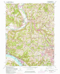
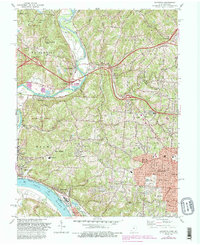
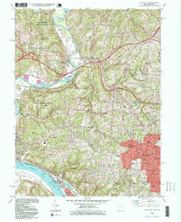
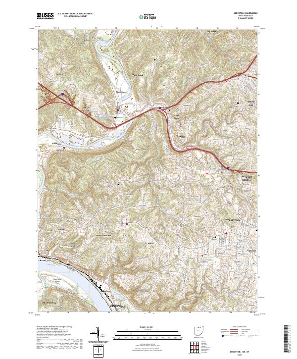
The Ohio River and the Great Miami River converge in this western corner of Hamilton County, shaping a landscape defined by river bottoms and residential expansion. The settlement of Addyston sits along the northern bank of the Ohio, while North Bend and the low-lying North Bend Bottom occupy the peninsula formed by the shifting river courses. This area serves as a critical transportation corridor, with major routes like Three Rivers Pkwy and River Rd following the water's edge.
Find a feature on this map
72 named features on this map. Tap any name to fly to it.
Don’t see what you’re looking for? This feature index may not catch every label — zoom into the map to look around manually.
Map Details
Editions of this 2023 Addyston Map
This is the sole edition of this map. No revisions or reprints were ever made.
Historical Maps of Miami Heights Through Time
5 maps found