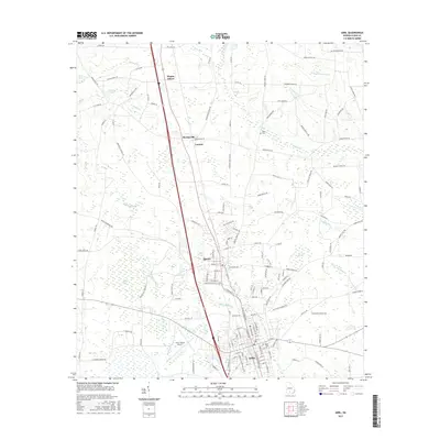
2017 Map of Adel
USGS Topo · Published 2017About this map
Adel and Sparks sit as the primary population centers of this South Georgia landscape, clustered along the Georgia Southern and Florida RR corridor. The geography is defined by a dense network of blackwater streams and wetlands, including Giddens Mill Cr and Bear Creek, which eventually feed into the larger river systems. In the north, smaller communities like Barneyville, Laconte, and Wagon Wheel are connected by a grid of county roads that navigate around natural depressions like Thornhill Bay and Crossroads Bay.
Find a feature on this map
162 named features on this map. Tap any name to fly to it.
Don’t see what you’re looking for? This feature index may not catch every label — zoom into the map to look around manually.
Map Details
Editions of this 2017 Adel Map
This is the sole edition of this map. No revisions or reprints were ever made.
Other maps of this area

1953 · Waycross
USGS Topo · 1:250,000

1958 · Waycross
USGS Topo · 1:250,000

1973 · Adel
USGS Topo · 1:24,000

1973 · New Lois
USGS Topo · 1:24,000

1973 · Sapps Lake
USGS Topo · 1:24,000

1973 · Cecil
USGS Topo · 1:24,000

1973 · Nashville West
USGS Topo · 1:24,000

1973 · Lenox
USGS Topo · 1:24,000

1973 · Omega
USGS Topo · 1:24,000

1974 · Berlin East
USGS Topo · 1:24,000