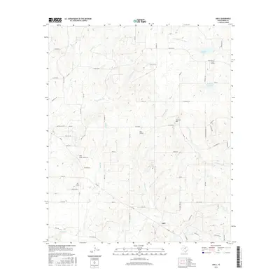
2016 Map of Adell
USGS Topo · Published 2016About this map
Adell sits at the southern reach of this Parker County landscape, where the terrain is defined by the drainages of the Clear Fork Trinity River. The topography is marked by distinct elevations such as Bald Knob and Slipdown Mtn, which overlook a network of seasonal and perennial creeks including Rock Cr and Cottonwood Cr. Human activity is centered around the small settlement of Adell and the lakeside access at Arnett Landing, which borders Reservoir Number Two.
Find a feature on this map
58 named features on this map. Tap any name to fly to it.
Don’t see what you’re looking for? This feature index may not catch every label — zoom into the map to look around manually.
Map Details
Editions of this 2016 Adell Map
This is the sole edition of this map. No revisions or reprints were ever made.
Other maps of this area

1891 · Weatherford
USGS Topo · 1:125,000

1891 · Palo Pinto
USGS Topo · 1:125,000

1893 · Weatherford
USGS Topo · 1:125,000

1918 · Palo Pinto
USGS Topo · 1:125,000

1927 · Mineral Wells
USGS Topo · 1:62,500

1954 · Dallas
USGS Topo · 1:250,000

1954 · Sherman
USGS Topo · 1:250,000

1954 · Abilene
USGS Topo · 1:250,000

1954 · Wichita Falls
USGS Topo · 1:250,000

1958 · Dallas
USGS Topo · 1:250,000