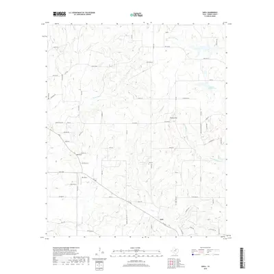
2019 Map of Adell
USGS Topo · Published 2019About this map
Adell anchors this portion of Parker County, situated at the junction of several rural routes including FM 1885 and the Garner Adell Road. The landscape is defined by the headwaters and drainage basins of the Clear Fork Trinity River, which flows through the northern reaches of the quadrangle. Significant topographical features include Slipdown Mtn and Bald Knob, providing distinct landmarks among the numerous creek branches like E Fork Rock Cr and Rippy Br.
Find a feature on this map
74 named features on this map. Tap any name to fly to it.
Don’t see what you’re looking for? This feature index may not catch every label — zoom into the map to look around manually.
Map Details
Editions of this 2019 Adell Map
This is the sole edition of this map. No revisions or reprints were ever made.
Other maps of this area

1891 · Weatherford
USGS Topo · 1:125,000

1891 · Palo Pinto
USGS Topo · 1:125,000

1893 · Weatherford
USGS Topo · 1:125,000

1918 · Palo Pinto
USGS Topo · 1:125,000

1927 · Mineral Wells
USGS Topo · 1:62,500

1954 · Dallas
USGS Topo · 1:250,000

1954 · Sherman
USGS Topo · 1:250,000

1954 · Abilene
USGS Topo · 1:250,000

1954 · Wichita Falls
USGS Topo · 1:250,000

1958 · Dallas
USGS Topo · 1:250,000