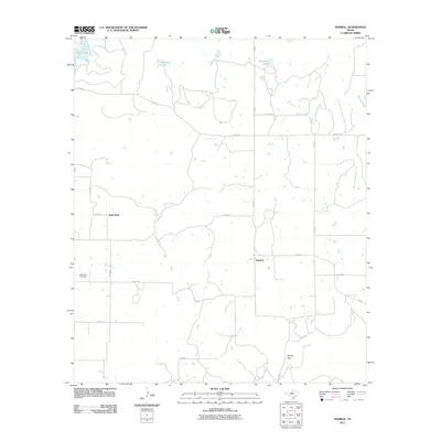
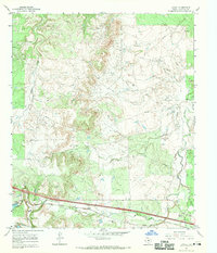
2011 Map of Admiral
USGS Topo · Published 2011About this map
Belle Plain and the nearby Belle Plain Cemetery anchor the western portion of this Callahan County landscape, which remains characterized by sparse ranching settlements and winding rural roads. The area around Admiral serves as a central junction where FM 2228 meets a network of local county routes, including Co RD 480. The topography is defined by the drainage systems of Deep Creek and the West Fork Brushy Creek, with several small impoundments such as Baird Lake, Windham Lake, and Hatchett Lake dotting the northern reaches. To the south, the terrain rises toward Spring Gap, a distinctive geological feature that overlooks the surrounding plains. The map illustrates a contemporary pattern of land use where historic place names persist alongside modern infrastructure, reflecting the enduring rural character of central Texas.
Find a feature on this map
25 named features on this map. Tap any name to fly to it.
Don’t see what you’re looking for? This feature index may not catch every label — zoom into the map to look around manually.
Map Details
Editions of this 2011 Admiral Map
This is the sole edition of this map. No revisions or reprints were ever made.
Other maps of this area

1931 · Baird
USGS Topo · 1:125,000

1932 · Baird
USGS Topo · 1:125,000

1954 · Abilene
USGS Topo · 1:250,000

1958 · Abilene
USGS Topo · 1:250,000

1966 · Putnam South
USGS Topo · 1:24,000
1966 · Baird
USGS Topo · 1:24,000

1966 · Admiral
USGS Topo · 1:24,000
1966 · Putnam North
USGS Topo · 1:24,000
1966 · Cub Hollow
USGS Topo · 1:24,000
1966 · Jayell
USGS Topo · 1:24,000