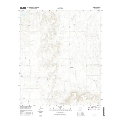
2016 Map of Admiral
USGS Topo · Published 2016About this map
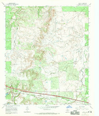
The small community of Admiral sits at the heart of this Callahan County survey, positioned near the intersection of FM 2228 and Co RD 461. The landscape is defined by the sharp elevation changes of Spring Gap to the south and a series of water bodies to the north, including Baird Lake, Windham Lake, and Hatchett Lake. For those researching the early residents of this area, the Belle Plain Cem provides a critical point of interest in the western portion of the quadrangle. The map details an extensive network of rural county roads that connect isolated farmsteads across a terrain drained by Brushy Cr and the W Fork Brushy Cr, illustrating the persistent agricultural and ranching character of this central Texas region.
Find a feature on this map
25 named features on this map. Tap any name to fly to it.
Don’t see what you’re looking for? This feature index may not catch every label — zoom into the map to look around manually.
Map Details
Editions of this 2016 Admiral Map
This is the sole edition of this map. No revisions or reprints were ever made.
Other maps of this area

1931 · Baird
USGS Topo · 1:125,000

1932 · Baird
USGS Topo · 1:125,000

1954 · Abilene
USGS Topo · 1:250,000

1958 · Abilene
USGS Topo · 1:250,000

1966 · Putnam South
USGS Topo · 1:24,000
1966 · Baird
USGS Topo · 1:24,000

1966 · Admiral
USGS Topo · 1:24,000
1966 · Putnam North
USGS Topo · 1:24,000
1966 · Cub Hollow
USGS Topo · 1:24,000
1966 · Jayell
USGS Topo · 1:24,000