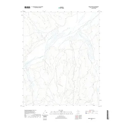
2019 Map of Adobe Creek SW
USGS Topo · Published 2019About this map
The Canadian River cuts a wide, braided path through this portion of the Texas Panhandle, defining a landscape dominated by drainage networks and riparian basins. This 2019 survey illustrates the intricate tributary systems that feed the primary river channel, including White Deer Cr to the east and the converging flows of Spring Cr and Moore Cr to the west. The terrain is characterized by the stark contrast between the flat upland plains and the complex erosional patterns of the creek beds. Human presence is sparse in this section of Hutchinson County, primarily represented by rural infrastructure like Co Rd 26, which navigates the high ground between the drainage breaks. The map provides a clear view of the natural hydrology, showing how Carson Cr and other seasonal waterways have sculpted the local topography over time.
Find a feature on this map
6 named features on this map. Tap any name to fly to it.
Don’t see what you’re looking for? This feature index may not catch every label — zoom into the map to look around manually.
Map Details
Editions of this 2019 Adobe Creek SW Map
This is the sole edition of this map. No revisions or reprints were ever made.
Other maps of this area

1953 · Plemons
USGS Topo · 1:24,000

1953 · Stinnett Station
USGS Topo · 1:24,000

1953 · Phillips
USGS Topo · 1:24,000

1954 · Amarillo
USGS Topo · 1:250,000

1958 · Amarillo
USGS Topo · 1:250,000

1970 · Phillips
USGS Topo · 1:24,000

1971 · Skellytown NW
USGS Topo · 1:24,000

1971 · Skellytown NE
USGS Topo · 1:24,000

1971 · Adobe Creek SW
USGS Topo · 1:24,000

1971 · Garden Springs
USGS Topo · 1:24,000