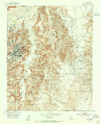
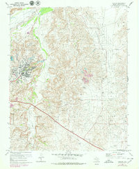
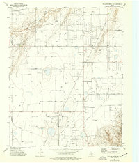
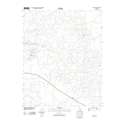
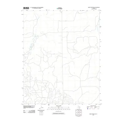
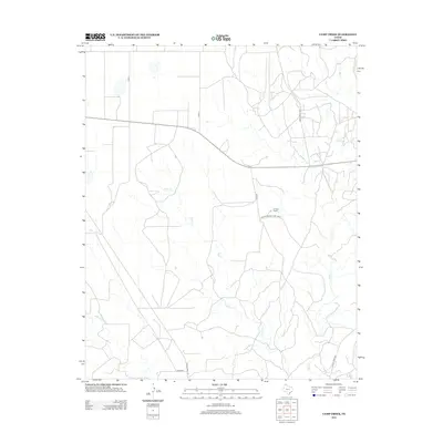
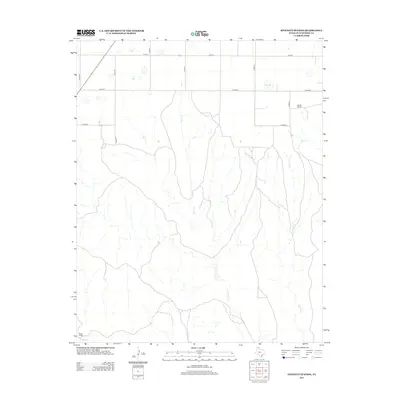
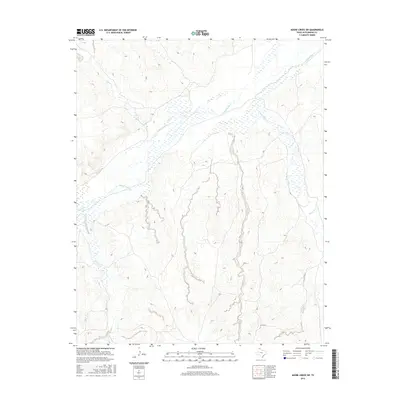
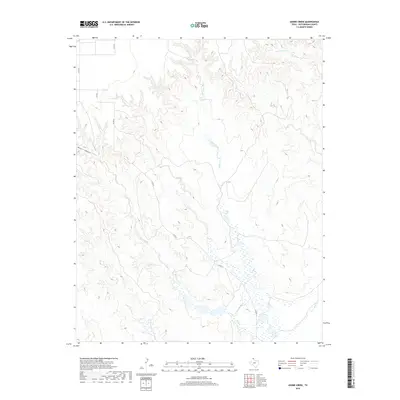
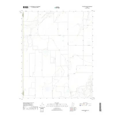
1953 Map of Phillips
USGS Topo · Published 1955About this map
The Borger Oil Field dominates this mid-century landscape of the Texas Panhandle, revealing an intricate industrial network of wells and pipelines centered around Phillips. The map illustrates the specialized infrastructure of the petroleum industry, from the Refinery and Oil Tank Farm to an Experimental Laboratory and a Borger Terminal. While oil production is the primary driver of the local economy, the terrain is deeply etched by Dixon Creek and Bear Creek as they flow toward the Canadian River in the north. Settlement patterns include residential clusters like Phillips Camp and Travelers Camp, alongside rural focal points such as Haile Ch and Spring Creek Sch, providing a detailed look at the social and industrial geography of Hutchinson and Carson counties during the post-war oil boom.
Find a feature on this map
26 named features on this map. Tap any name to fly to it.
Don’t see what you’re looking for? This feature index may not catch every label — zoom into the map to look around manually.
Map Details
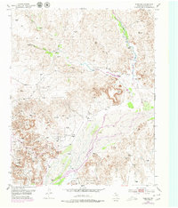
Editions of this 1953 Phillips Map
This is the sole edition of this map. No revisions or reprints were ever made.
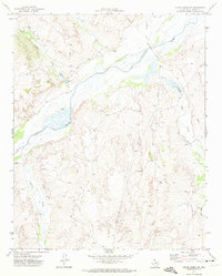
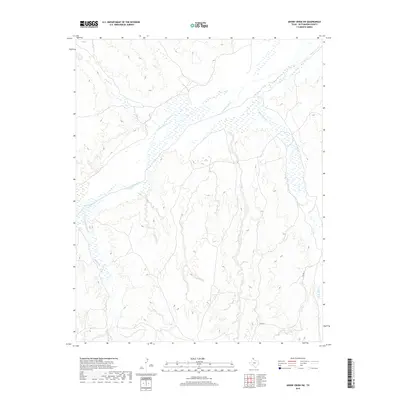
Historical Maps of Borger Through Time
55 maps found
1953 Phillips
Hutchinson County, TX
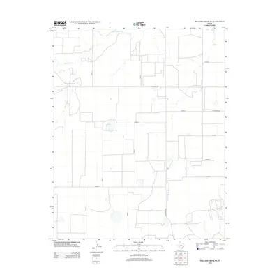
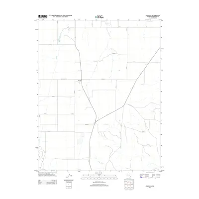
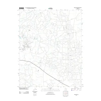
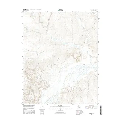
1953 Plemons
Hutchinson County, TX
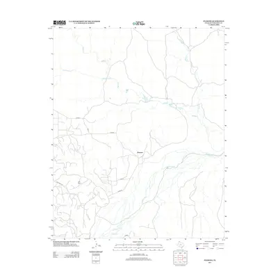
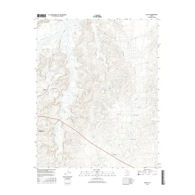
1953 Pringle
Hutchinson County, TX
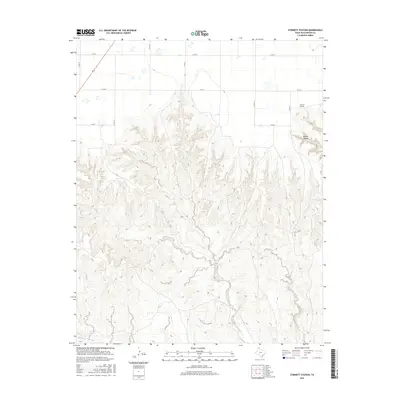
1953 Stinnett Station
Hutchinson County, TX
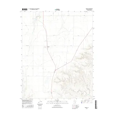
1970 Phillips
Hutchinson County, TX
1971 Adobe Creek SW
Hutchinson County, TX
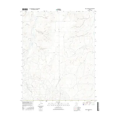
1971 Skellytown NW
Hutchinson County, TX
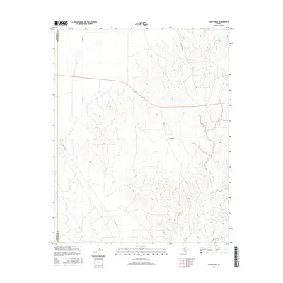
1974 Camp Creek
Hutchinson County, TX
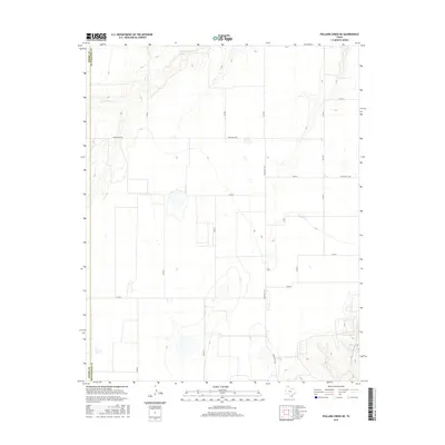
1974 Pollard Creek NE
Hutchinson County, TX
1979 Adobe Creek
Hutchinson County, TX
2010 Adobe Creek
Hutchinson County, TX

2010 Adobe Creek SW
Hutchinson County, TX
2010 Camp Creek
Hutchinson County, TX
2010 Phillips
Hutchinson County, TX
2010 Plemons
Hutchinson County, TX
2010 Pollard Creek NE
Hutchinson County, TX
2010 Pringle
Hutchinson County, TX
2010 Skellytown NW
Hutchinson County, TX
2010 Stinnett Station
Hutchinson County, TX
2012 Adobe Creek
Hutchinson County, TX
2012 Adobe Creek SW
Hutchinson County, TX
2012 Camp Creek
Hutchinson County, TX
2012 Pollard Creek NE
Hutchinson County, TX
2012 Pringle
Hutchinson County, TX
2012 Skellytown NW
Hutchinson County, TX
2012 Stinnett Station
Hutchinson County, TX
2013 Phillips
Hutchinson County, TX
2013 Plemons
Hutchinson County, TX
2016 Adobe Creek
Hutchinson County, TX
2016 Adobe Creek SW
Hutchinson County, TX
2016 Camp Creek
Hutchinson County, TX
2016 Phillips
Hutchinson County, TX
2016 Plemons
Hutchinson County, TX
2016 Pollard Creek NE
Hutchinson County, TX
2016 Pringle
Hutchinson County, TX
2016 Skellytown NW
Hutchinson County, TX
2016 Stinnett Station
Hutchinson County, TX
2019 Adobe Creek
Hutchinson County, TX
2019 Adobe Creek SW
Hutchinson County, TX
2019 Camp Creek
Hutchinson County, TX
2019 Phillips
Hutchinson County, TX

2019 Plemons
Hutchinson County, TX
2019 Pollard Creek NE
Hutchinson County, TX
2019 Pringle
Hutchinson County, TX
2019 Skellytown NW
Hutchinson County, TX
2019 Stinnett Station
Hutchinson County, TX
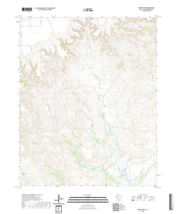
2022 Adobe Creek
Hutchinson County, TX
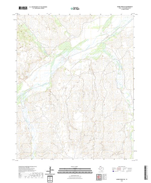
2022 Adobe Creek SW
Hutchinson County, TX
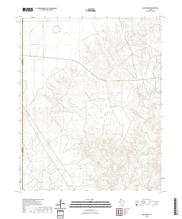
2022 Camp Creek
Hutchinson County, TX
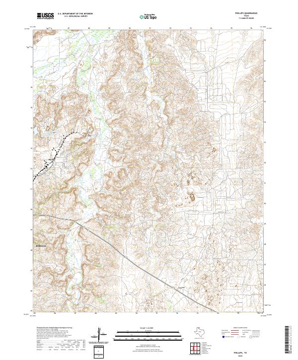
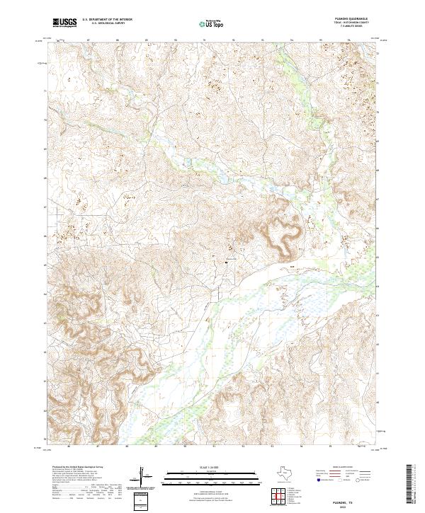
2022 Phillips
Hutchinson County, TX
2022 Plemons
Hutchinson County, TX
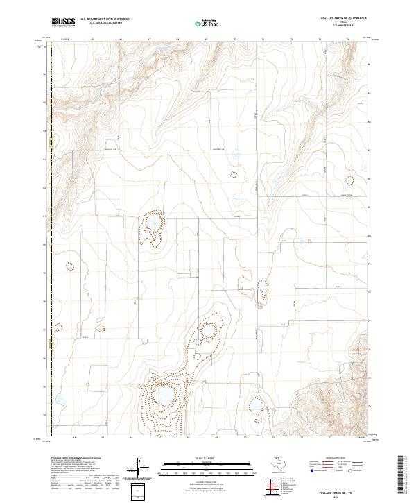
2022 Pollard Creek NE
Hutchinson County, TX
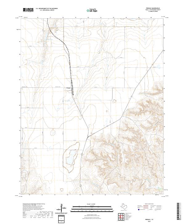
2022 Pringle
Hutchinson County, TX

2022 Skellytown NW
Hutchinson County, TX
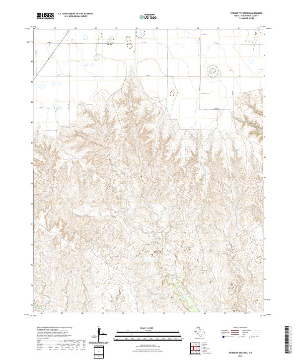
2022 Stinnett Station
Hutchinson County, TX