
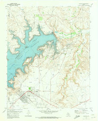
1953 Map of Stinnett
USGS Topo · Published 1954About this map
Stinnett serves as the central hub of this Hutchinson County landscape, positioned at the intersection of routes 117 and 152. The 1950s economy is clearly defined by the massive Stinnett Oil Field and Borger Oil Field, which dominate the southern and central terrain. These petroleum operations are supported by industrial clusters and worker housing, including Supreme Camp, Creslenn Camp, and Stekoll Camp.
Find a feature on this map
20 named features on this map. Tap any name to fly to it.
Don’t see what you’re looking for? This feature index may not catch every label — zoom into the map to look around manually.
Map Details
Editions of this 1953 Stinnett Map
This is the sole edition of this map. No revisions or reprints were ever made.
Other maps of this area

1939 · Sanford
USGS Topo · 1:62,500

1953 · Sanford
USGS Topo · 1:24,000

1953 · Plemons
USGS Topo · 1:24,000

1953 · Stinnett Station
USGS Topo · 1:24,000

1953 · Pringle
USGS Topo · 1:24,000

1953 · Phillips
USGS Topo · 1:24,000

1953 · Borger
USGS Topo · 1:24,000

1954 · Amarillo
USGS Topo · 1:250,000

1958 · Amarillo
USGS Topo · 1:250,000
1970 · Sanford
USGS Topo · 1:24,000