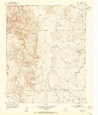
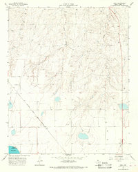
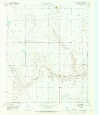
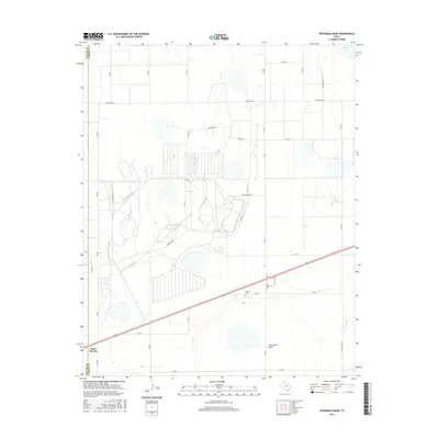
1953 Map of Borger SE
USGS Topo · Published 1954About this map
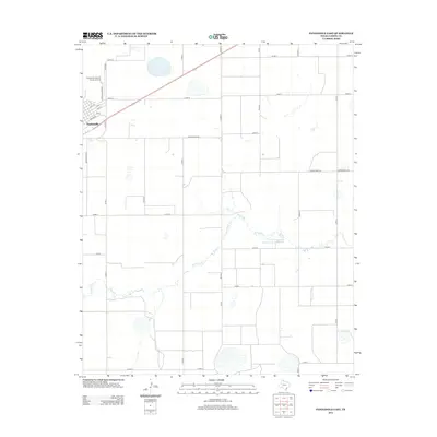
Burnett Oil Field and Garner Oil Field dominate this 1950s landscape in the Texas Panhandle, marking a period of intense industrial activity along the county line between Hutchinson Co and Carson Co. The terrain is characterized by a dense network of extraction infrastructure, including numerous sites marked as Gas Well, oil tanks, and pipelines that crisscross the drainage basins.
Find a feature on this map
13 named features on this map. Tap any name to fly to it.
Don’t see what you’re looking for? This feature index may not catch every label — zoom into the map to look around manually.
Map Details
Editions of this 1953 Borger SE Map
This is the sole edition of this map. No revisions or reprints were ever made.
Historical Maps of Hutchinson County Through Time
78 maps found
1953 Borger SE
Carson County, TX
1953 Deal
Carson County, TX
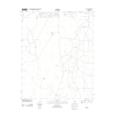
1953 McBride
Carson County, TX

1953 Pomeroy
Carson County, TX
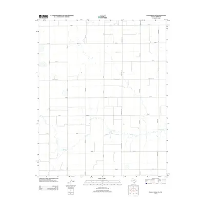
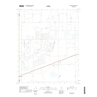
1953 Sevenmile Basin
Carson County, TX
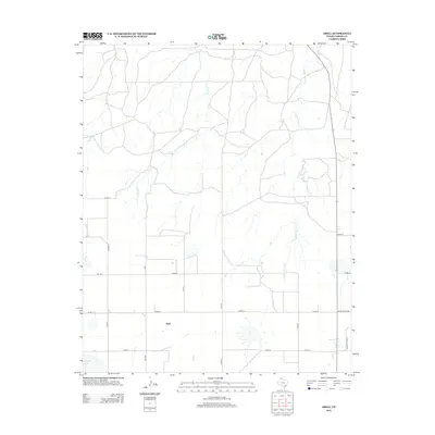
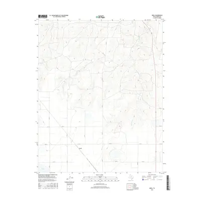
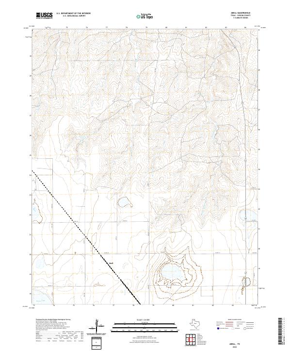
1965 Abell
Carson County, TX
1966 Cuyler
Carson County, TX
1966 Panhandle East
Carson County, TX
1966 Panhandle West
Carson County, TX
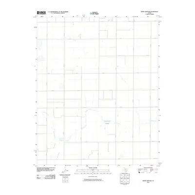
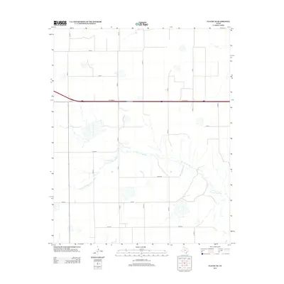
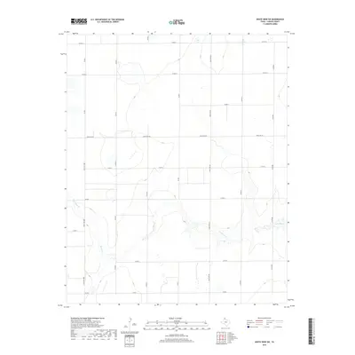
1966 White Deer SW
Carson County, TX
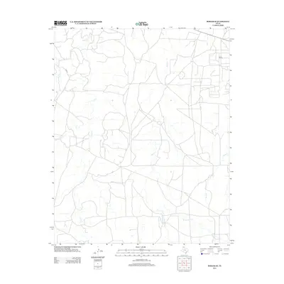
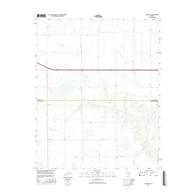
1983 Claude NE
Carson County, TX
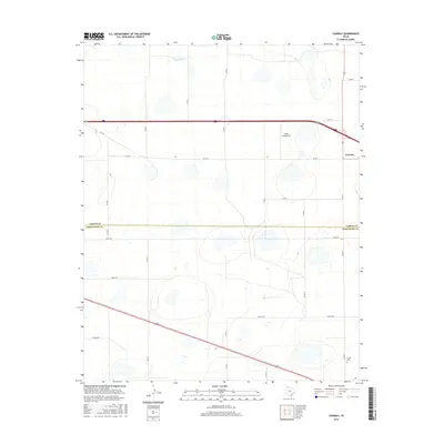
1983 Conway
Carson County, TX
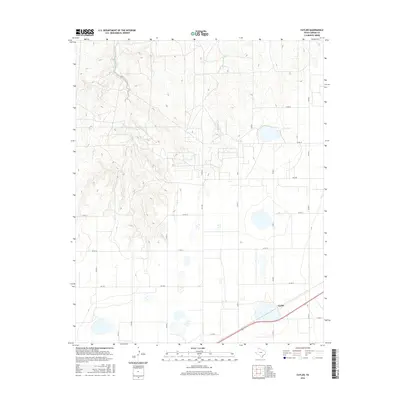
1983 Lark
Carson County, TX
2010 Abell
Carson County, TX
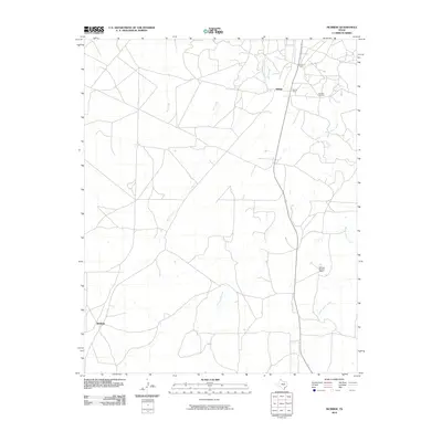
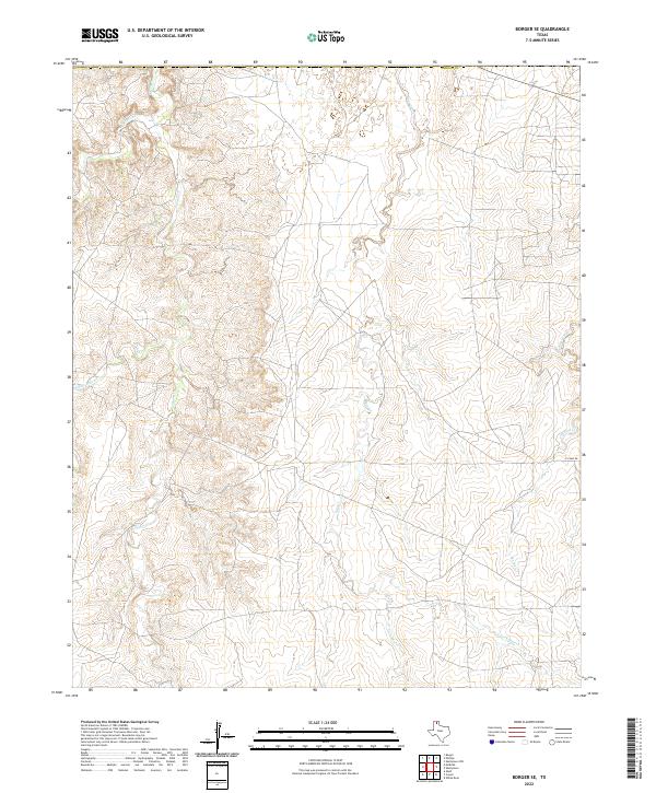
2010 Borger SE
Carson County, TX
2010 Claude NE
Carson County, TX
2010 Conway
Carson County, TX
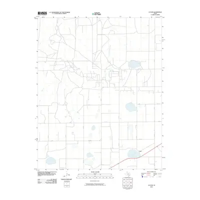
2010 Cuyler
Carson County, TX
2010 Deal
Carson County, TX
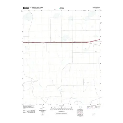
2010 Lark
Carson County, TX
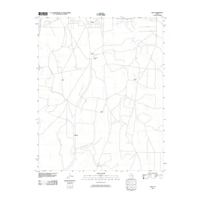
2010 McBride
Carson County, TX
2010 Panhandle East
Carson County, TX
2010 Panhandle West
Carson County, TX
2010 Pomeroy
Carson County, TX
2010 Sevenmile Basin
Carson County, TX
2010 White Deer SW
Carson County, TX
2012 Abell
Carson County, TX
2012 Borger SE
Carson County, TX
2012 Claude NE
Carson County, TX
2012 Conway
Carson County, TX
2012 Cuyler
Carson County, TX
2012 Lark
Carson County, TX
2012 McBride
Carson County, TX
2012 Panhandle East
Carson County, TX
2012 Panhandle West
Carson County, TX
2012 Pomeroy
Carson County, TX
2012 Sevenmile Basin
Carson County, TX
2012 White Deer SW
Carson County, TX
2013 Deal
Carson County, TX
2016 Abell
Carson County, TX
2016 Borger SE
Carson County, TX
2016 Claude NE
Carson County, TX
2016 Conway
Carson County, TX
2016 Cuyler
Carson County, TX
2016 Deal
Carson County, TX
2016 Lark
Carson County, TX
2016 McBride
Carson County, TX

2016 Panhandle East
Carson County, TX
2016 Panhandle West
Carson County, TX
2016 Pomeroy
Carson County, TX
2016 Sevenmile Basin
Carson County, TX
2016 White Deer SW
Carson County, TX
2019 Abell
Carson County, TX
2019 Borger SE
Carson County, TX

2019 Claude NE
Carson County, TX
2019 Conway
Carson County, TX
2019 Cuyler
Carson County, TX
2019 Deal
Carson County, TX
2019 Lark
Carson County, TX
2019 McBride
Carson County, TX
2019 Panhandle East
Carson County, TX
2019 Panhandle West
Carson County, TX
2019 Pomeroy
Carson County, TX
2019 Sevenmile Basin
Carson County, TX
2019 White Deer SW
Carson County, TX
2022 Abell
Carson County, TX
2022 Borger SE
Carson County, TX
2022 Claude NE
Carson County, TX
2022 Conway
Carson County, TX
2022 Cuyler
Carson County, TX
2022 Deal
Carson County, TX
2022 Lark
Carson County, TX
2022 McBride
Carson County, TX
2022 Panhandle East
Carson County, TX
2022 Panhandle West
Carson County, TX
2022 Pomeroy
Carson County, TX
2022 Sevenmile Basin
Carson County, TX
2022 White Deer SW
Carson County, TX