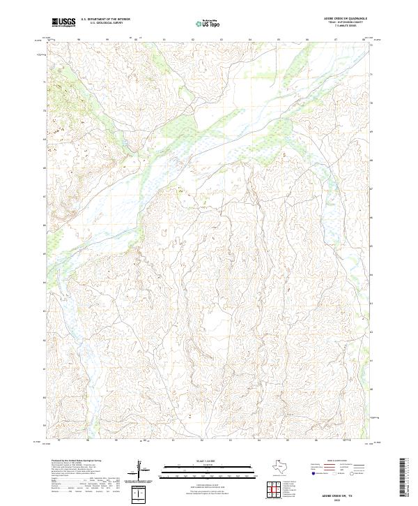
2022 Map of Adobe Creek SW
USGS Topo · Published 2022About this map
The Canadian River cuts a wide, braided path across this Hutchinson County landscape, defining the topography of the High Plains. This 2022 survey captures the intricate drainage network where Carson Cr and Moore Cr feed into the primary river valley from the west, while the winding course of White Deer Cr enters from the east. The terrain is characterized by the sharp transition from flat upland plains to the deeply eroded breaks along the river corridor.
Find a feature on this map
7 named features on this map. Tap any name to fly to it.
Don’t see what you’re looking for? This feature index may not catch every label — zoom into the map to look around manually.
Map Details
Editions of this 2022 Adobe Creek SW Map
This is the sole edition of this map. No revisions or reprints were ever made.
Other maps of this area

1953 · Plemons
USGS Topo · 1:24,000

1953 · Stinnett Station
USGS Topo · 1:24,000

1953 · Phillips
USGS Topo · 1:24,000

1954 · Amarillo
USGS Topo · 1:250,000

1958 · Amarillo
USGS Topo · 1:250,000

1970 · Phillips
USGS Topo · 1:24,000

1971 · Skellytown NW
USGS Topo · 1:24,000

1971 · Skellytown NE
USGS Topo · 1:24,000

1971 · Adobe Creek SW
USGS Topo · 1:24,000

1971 · Garden Springs
USGS Topo · 1:24,000