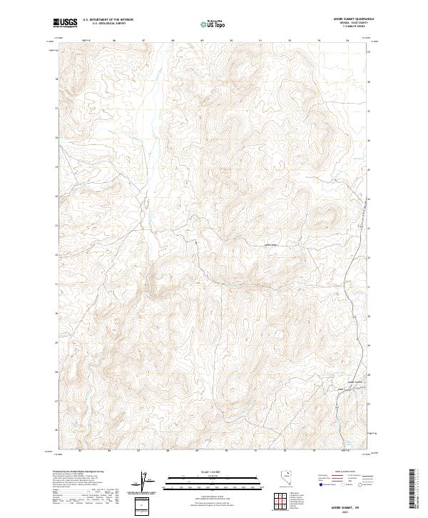
2021 Map of Adobe Summit
USGS Topo · Published 2021About this map
The Adobe Range dominates this landscape in northeastern Nevada, where high-desert drainage systems like Susie Cr and Swales Cr carve through the basin and range terrain. This modern survey illustrates the persistent topography of the Great Basin, focusing on the prominent Adobe Summit and the descent into Dobe Canyon. While largely characterized by open terrain, the map reveals a network of water sources vital to this arid environment, including Mud Spring and Barrel Springs. Local access is marked by modern routes such as Honey Do Rd and El Ranchero Dr near the summit, providing a clear record of current land use and access points in Elko County. The map provides a detailed view of the watershed divide, tracing the paths of Sixteenmile Cr and Adobe Cr as they move away from the central ridgelines.
Find a feature on this map
17 named features on this map. Tap any name to fly to it.
Don’t see what you’re looking for? This feature index may not catch every label — zoom into the map to look around manually.
Map Details
Editions of this 2021 Adobe Summit Map
This is the sole edition of this map. No revisions or reprints were ever made.
Other maps of this area

1955 · McDermitt
USGS Topo · 1:250,000

1955 · Wells
USGS Topo · 1:250,000

1955 · Winnemucca
USGS Topo · 1:250,000

1955 · Elko
USGS Topo · 1:250,000

1957 · Elko West
USGS Topo · 1:24,000

1958 · Winnemucca
USGS Topo · 1:250,000

1958 · Wells
USGS Topo · 1:250,000

1958 · Elko
USGS Topo · 1:250,000

1958 · Singletree Creek
USGS Topo · 1:24,000

1958 · Hunter
USGS Topo · 1:24,000