
1966 Map of Adobes
USGS Topo · Published 1969About this map
The Rio Grande Bravo snakes along the international border in this mid-1970s survey, marking the divide between Presidio County and the Mexican state of Chihuahua. Small settlements and ranching outposts such as Adobe, Buenos Aires, and Chinati Ranch punctuate the landscape, connected by a network of unimproved roads and a jeep trail. The terrain is defined by dramatic elevation changes, rising from the river bottomlands up to Mesa La Mota and the foothills of the Chinati Mountains in the northeast corner.
Find a feature on this map
27 named features on this map. Tap any name to fly to it.
Don’t see what you’re looking for? This feature index may not catch every label — zoom into the map to look around manually.
Map Details
Editions of this 1966 Adobes Map
This is the sole edition of this map. No revisions or reprints were ever made.
Other maps of this area

1896 · Ruidosa
USGS Topo · 1:125,000

1896 · Shafter
USGS Topo · 1:125,000

1959 · Presidio
USGS Topo · 1:250,000

1965 · Presidio
USGS Topo · 1:250,000

1978 · Sierra Parda
USGS Topo · 1:24,000
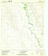
1979 · Indio
USGS Topo · 1:24,000
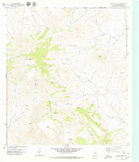
1979 · Chinati Peak
USGS Topo · 1:24,000

1980 · Arroyo Melado
USGS Topo · 1:24,000
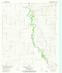
1980 · Las Conchas
USGS Topo · 1:24,000
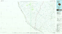
1985 · Presidio
USGS Topo · 1:100,000