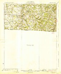
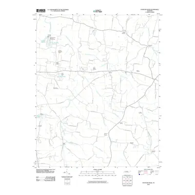
1931 Map of Adolphus
USGS Topo · Published 1931About this map
Adolphus stands as a rail hub along the L & N RR at the Kentucky and Tennessee border, marking the southeastern corner of this 1928 survey. The landscape is defined by the winding paths of Trammel Fork and Middle Fork, which supported a network of river crossings including Borens Ford and Old Mill Ford. This region of the Pennyroyal Plateau shows a high density of rural social infrastructure, with numerous country schools like Cave Spring Sch and Smyrna Sch serving dispersed farming communities.
Find a feature on this map
44 named features on this map. Tap any name to fly to it.
Don’t see what you’re looking for? This feature index may not catch every label — zoom into the map to look around manually.
Map Details
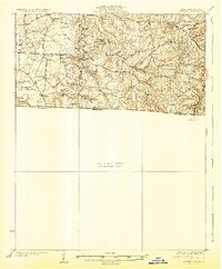
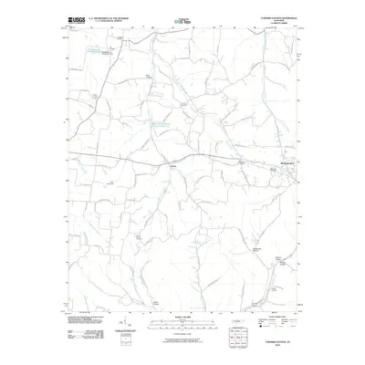
Editions of this 1931 Adolphus Map
2 editions found
Historical Maps of Portland Through Time
13 maps found
1931 Adolphus
Sumner County, TN
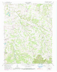
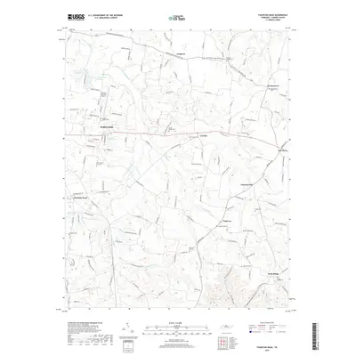
1958 Fountain Head
Sumner County, TN
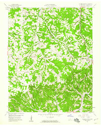
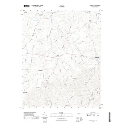
1958 Turners Station
Sumner County, TN
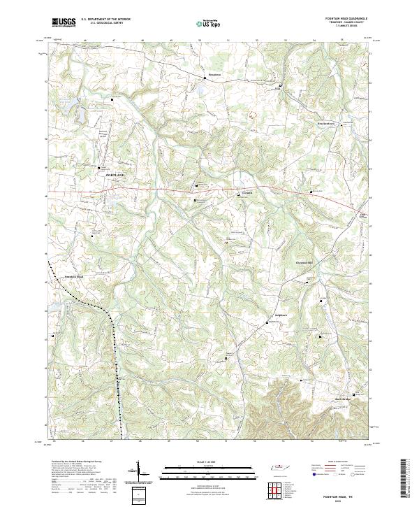
2010 Fountain Head
Sumner County, TN
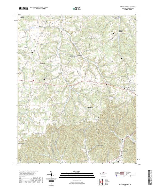
2010 Turners Station
Sumner County, TN
2013 Fountain Head
Sumner County, TN
2013 Turners Station
Sumner County, TN
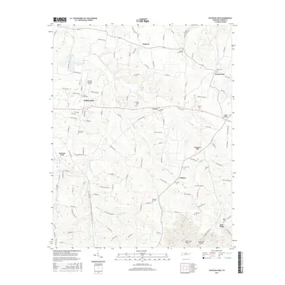
2016 Fountain Head
Sumner County, TN
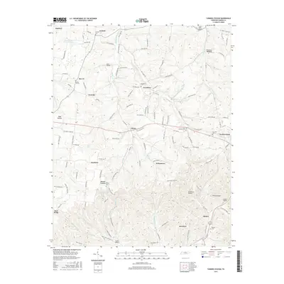
2016 Turners Station
Sumner County, TN
2019 Fountain Head
Sumner County, TN
2019 Turners Station
Sumner County, TN
2022 Fountain Head
Sumner County, TN
2022 Turners Station
Sumner County, TN